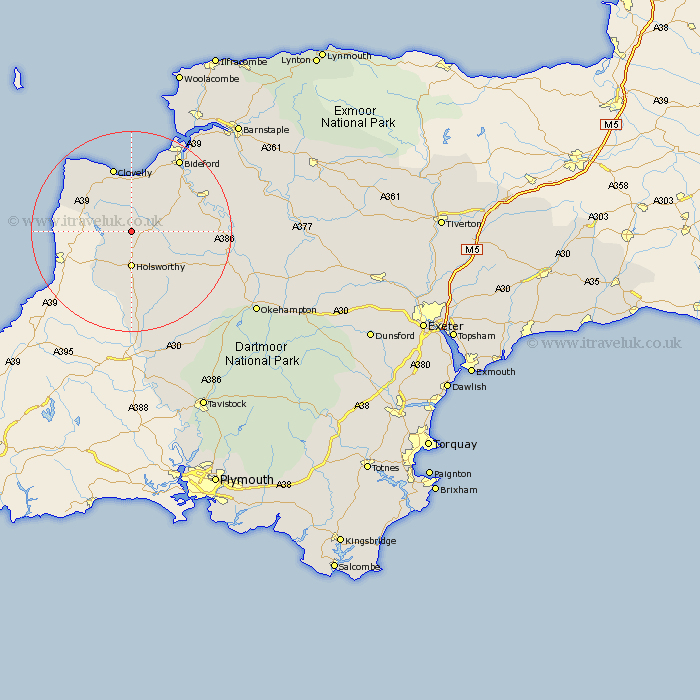
Devon Map Showing Location of Sutcombe
Population: 299
District: Torridge
Easting: 234713 Northing: 112004
Latitude: 50.88 Longitude: -4.35
 = Sutcombe
District: Torridge
Easting: 234713 Northing: 112004
Latitude: 50.88 Longitude: -4.35
= Sutcombe
This Sutcombe map below is supplied by Google. Use the tools in the top left corner to zoom into street level or zoom out for a road map, you may also need to zoom in to see Sutcombe on the map. Click and drag the map to move around. If the map fails to load try and refresh your browser or zoom in or out (+ or -).
Update - it seems Google no longer allow people to use their maps for free! This Sutcombe map sometimes loads and sometimes gives a error. I am working on a solution.
Closest 30 Towns or Cities to Sutcombe (Population over 500)
Bradworthy 2.99km Holsworthy 7.41km Woolfardisworthy 9.56km Woolsery 9.56km Pyworthy 9.91km Parkham 9.91km Shebbear 10.06km Bridgerule 10.96km Langtree 11.16km Buckland Brewer 11.62km Black Torrington 13.85km Halwill 15.34km Great Torrington 15.86km Torrington 15.86km Hartland 15.99km Ashwater 17.32km Bideford 17.53km Northam 19.12km Northlew 20.9km Hatherleigh 21.22km Appledore 21.31km Dolton 22.22km St. Giles on the Heath 22.27km St. Giles 22.27km Saint Giles 22.27km St Giles-on-the-Heath 22.27km St Giles on the Heath 22.27km Saint Giles on the Heath 22.27km St Giles 22.27km St. Giles-on-the-Heath 22.27km