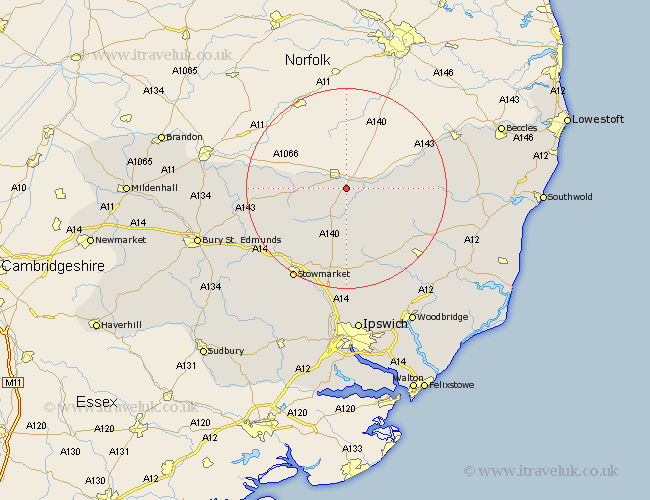
Suffolk Map Showing Location of Stuston
Population: 170
District: Mid Suffolk
Easting: 613375 Northing: 277100
Latitude: 52.35 Longitude: 1.13
 = Stuston
District: Mid Suffolk
Easting: 613375 Northing: 277100
Latitude: 52.35 Longitude: 1.13
= Stuston
This Stuston map below is supplied by Google. Use the tools in the top left corner to zoom into street level or zoom out for a road map, you may also need to zoom in to see Stuston on the map. Click and drag the map to move around. If the map fails to load try and refresh your browser or zoom in or out (+ or -).
Update - it seems Google no longer allow people to use their maps for free! This Stuston map sometimes loads and sometimes gives a error. I am working on a solution.
Closest 30 Towns or Cities to Stuston (Population over 500)
Eye 3.87km Hoxne 4.53km Wortham 5.66km Thorndon 7.42km Gislingham 7.94km Botesdale 8.14km Redgrave 9.24km Stradbroke 9.79km Fressingfield 11.32km Mendlesham 12.01km Bacton 12.19km Worlingworth 12.19km Hopton 13.71km Dennington 14.64km Hepworth 14.84km Debenham 15.21km Barningham 15.85km Stanton 16.28km Badwell Ash 16.49km Laxfield 16.8km Old Newton 16.81km Haughley 17.99km Bardwell 19.6km Elmswell 19.63km Framlingham 20.12km Ixworth 21.13km Stowmarket 21.16km Norton 21.27km Woolpit 21.72km Cookley 21.83km