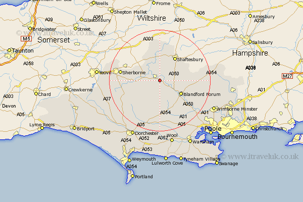
Dorset Map Showing Location of Sturminster Newton
Population: 2081
Area Size (ha): 86
District: North Dorset
Easting: 380085 Northing: 113125
Latitude: 50.92 Longitude: -2.28
 = Sturminster Newton
Area Size (ha): 86
District: North Dorset
Easting: 380085 Northing: 113125
Latitude: 50.92 Longitude: -2.28
= Sturminster Newton
This Sturminster Newton map below is supplied by Google. Use the tools in the top left corner to zoom into street level or zoom out for a road map, you may also need to zoom in to see Sturminster Newton on the map. Click and drag the map to move around. If the map fails to load try and refresh your browser or zoom in or out (+ or -).
Update - it seems Google no longer allow people to use their maps for free! This Sturminster Newton map sometimes loads and sometimes gives a error. I am working on a solution.
Closest 30 Towns or Cities to Sturminster Newton (Population over 500)
Shillingstone 2.98km Child Okeford 3.5km Marnhull 6.03km Stalbridge 6.92km Stourpaine 6.92km Iwerne Minster 7.25km Stour Provost 7.41km Fontmell Magna 7.93km Stour 9.26km East Stour 9.26km Blandford 9.89km Blandford Forum 9.89km Stickland Winterborne 9.91km Winterborne Stickland 9.91km Shaftesbury 10.95km Pimperne 11.15km Motcombe 12.06km Charlton 12.86km Milton Abbas 12.98km Gillingham 13.02km Whitechurch 13.44km Buckland Newton 14.93km Tarrant Monkton 15.09km Sherbourne 15.63km Sherborne 15.63km Spetisbury 16.14km Milborne 16.68km Milborne St Andrew 16.68km Milborne Saint Andrew 16.68km Milborne St. Andrew 16.68km