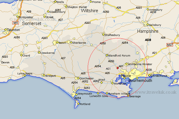
Dorset Map Showing Location of Sturminster Marshall
Population: 1895
District: East Dorset
Easting: 395300 Northing: 98256
Latitude: 50.78 Longitude: -2.07
 = Sturminster Marshall
District: East Dorset
Easting: 395300 Northing: 98256
Latitude: 50.78 Longitude: -2.07
= Sturminster Marshall
This Sturminster Marshall map below is supplied by Google. Use the tools in the top left corner to zoom into street level or zoom out for a road map, you may also need to zoom in to see Sturminster Marshall on the map. Click and drag the map to move around. If the map fails to load try and refresh your browser or zoom in or out (+ or -).
Update - it seems Google no longer allow people to use their maps for free! This Sturminster Marshall map sometimes loads and sometimes gives a error. I am working on a solution.
Closest 30 Towns or Cities to Sturminster Marshall (Population over 500)
Corfe Mullen 2.34km Lytchett Matravers 3.7km Spetisbury 5.11km Wimborne 6.57km Wimborne Minster 6.57km Holton Heath Station 7.5km Holton Heath 7.5km Poole 8.77km Tarrant Monkton 9.35km Arne 9.55km Winterborne Kingston 9.55km Horton 11.05km Bere Regis 11.18km Blandford 11.63km Blandford Forum 11.63km Wareham 11.66km Whitechurch 11.86km Pimperne 12.07km West Moors 12.29km Stickland Winterborne 12.96km Winterborne Stickland 12.96km Ferndown 14.18km Fern Down 14.18km West Parley 14.18km Parley 14.18km Stourpaine 14.54km Bournemouth 14.87km Wool 15.06km Milton Abbas 15.34km Milborne St Andrew 15.35km