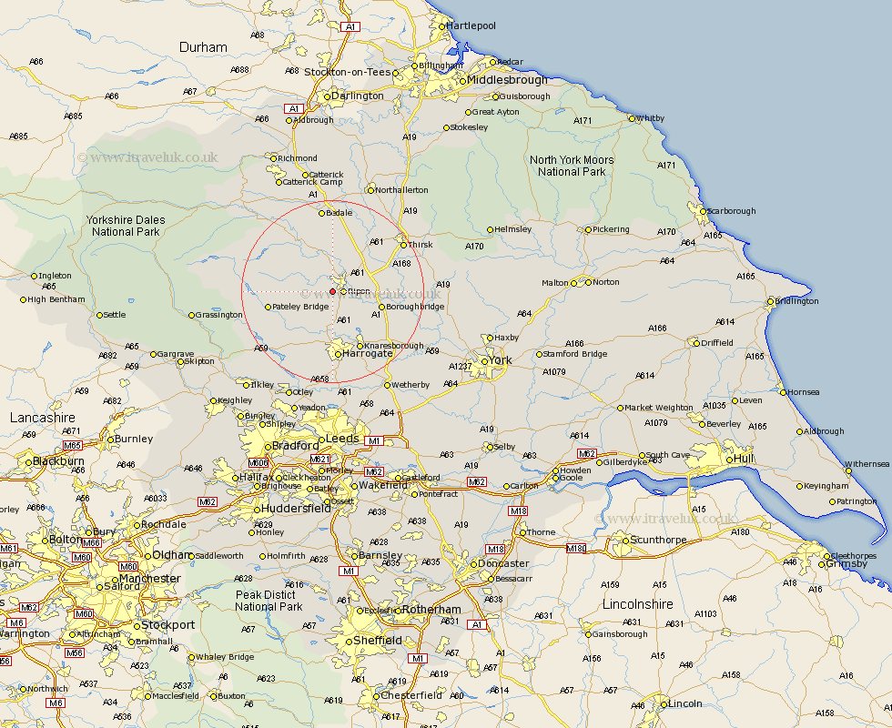
Yorkshire Map Showing Location of Studley Roger
Population: 138
District: Harrogate
Easting: 429411 Northing: 469094
Latitude: 54.12 Longitude: -1.55
 = Studley Roger
District: Harrogate
Easting: 429411 Northing: 469094
Latitude: 54.12 Longitude: -1.55
= Studley Roger
This Studley Roger map below is supplied by Google. Use the tools in the top left corner to zoom into street level or zoom out for a road map, you may also need to zoom in to see Studley Roger on the map. Click and drag the map to move around. If the map fails to load try and refresh your browser or zoom in or out (+ or -).
Update - it seems Google no longer allow people to use their maps for free! This Studley Roger map sometimes loads and sometimes gives a error. I am working on a solution.
Closest 30 Towns or Cities to Studley Roger (Population over 500)
Ripon 2.17km Monkton 4.94km Bishop Monkton 4.94km Burton Leonard 6.45km Kirkby Malzeard 8.56km West Tanfield 9.33km Tanfield 9.33km Dishforth 9.44km Grewelthorpe 9.86km Birstwith 10.24km Boroughbridge 10.46km Killinghall 11.12km Hampsthwaite 11.59km Masham 12.88km Topcliffe 13.14km Dacre 13.16km Marton le Moor 13.19km Marton 13.19km Darley 13.48km Knaresborough 14.07km Bewerley 14.61km Harrogate 14.87km Ouseburn 16.93km Great Ouseburn 16.93km Thirsk 17.96km Pannal 18.57km Bedale 18.65km Whixley 18.85km Raskelf 19.64km Crakehall 20.84km