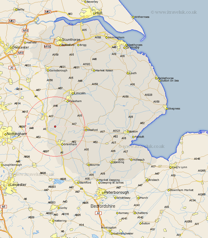
Lincolnshire Map Showing Location of Stubton
Population: 163
District: South Kesteven
Easting: 487199 Northing: 347424
Latitude: 53.02 Longitude: -0.7
 = Stubton
District: South Kesteven
Easting: 487199 Northing: 347424
Latitude: 53.02 Longitude: -0.7
= Stubton
This Stubton map below is supplied by Google. Use the tools in the top left corner to zoom into street level or zoom out for a road map, you may also need to zoom in to see Stubton on the map. Click and drag the map to move around. If the map fails to load try and refresh your browser or zoom in or out (+ or -).
Update - it seems Google no longer allow people to use their maps for free! This Stubton map sometimes loads and sometimes gives a error. I am working on a solution.
Closest 30 Towns or Cities to Stubton (Population over 500)
Claypole 2.89km Long Bennington 6.49km Caythorpe 6.69km Fulbeck 8.02km Allington 9.34km Great Gonerby 11.34km Belton 11.44km Welbourn 11.47km Bassingham 11.98km Ancaster 12.46km Barrowby 13.02km Grantham 13.72km Wellingore 14.49km Swinderby 14.82km Navenby 15.36km Cranwell 15.71km Aubourn 15.83km Harlaxton 16.72km Brauncewell 18.21km Eagle 18.56km Leasingham 18.95km Heasingham 18.95km Thorpe-on-the-Hill 19.05km Thorpe 19.05km Thorpe on the Hill 19.05km Ropsley 19.26km Sleaford 19.58km Waddington 20.05km Hykeham 20.1km North Hykeham 20.1km