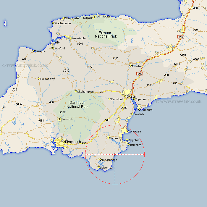
Devon Map Showing Location of Strete
Population: 520
District: South Hams
Easting: 283728 Northing: 47651
Latitude: 50.32 Longitude: -3.63
 = Strete
District: South Hams
Easting: 283728 Northing: 47651
Latitude: 50.32 Longitude: -3.63
= Strete
This Strete map below is supplied by Google. Use the tools in the top left corner to zoom into street level or zoom out for a road map, you may also need to zoom in to see Strete on the map. Click and drag the map to move around. If the map fails to load try and refresh your browser or zoom in or out (+ or -).
Update - it seems Google no longer allow people to use their maps for free! This Strete map sometimes loads and sometimes gives a error. I am working on a solution.
Closest 30 Towns or Cities to Strete (Population over 500)
Stoke Fleming 2.37km Blackawton 4.39km Dartmouth 5.13km Kingswear 6.01km Stokenham 6.04km East Allington 7.1km Stoke Gabriel 9.34km Kingsbridge 10.17km Loddiswell 10.65km Brixham 12.02km Harberton 12.59km Totnes 12.7km Berry Pomeroy 13.02km Paignton 13.56km Diptford 14.11km Salcombe 14.13km West Alvington 14.16km Aveton Gifford 14.32km Malborough 15.04km Marldon 16.85km Ugborough 17.06km Staverton 17.34km Thurleston 17.48km Thurlestone 17.48km Modbury 18.13km Ipplepen 18.52km Torquay 18.84km Broadhempston 18.86km South Brent 19.22km Brent 19.22km