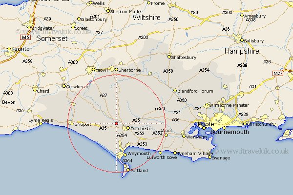
Dorset Map Showing Location of Stratton
Population: 435
District: West Dorset
Easting: 364717 Northing: 92814
Latitude: 50.73 Longitude: -2.5
 = Stratton
District: West Dorset
Easting: 364717 Northing: 92814
Latitude: 50.73 Longitude: -2.5
= Stratton
This Stratton map below is supplied by Google. Use the tools in the top left corner to zoom into street level or zoom out for a road map, you may also need to zoom in to see Stratton on the map. Click and drag the map to move around. If the map fails to load try and refresh your browser or zoom in or out (+ or -).
Update - it seems Google no longer allow people to use their maps for free! This Stratton map sometimes loads and sometimes gives a error. I am working on a solution.
Closest 30 Towns or Cities to Stratton (Population over 500)
Charminster 3.52km Dorchester 5.04km Maiden Newton 5.98km Cerne Abbas 7.78km Piddletrenthide 8.08km Puddletrenthide 8.08km Portesham 8.77km Portisham 8.77km Bincombe 9.91km Broadmayne 9.92km Abbotsbury 10.22km Puddletown 10.72km Piddletown 10.72km Preston 10.97km Buckland Newton 11.66km Overcombe 11.82km West Chickerel 12.96km Chickerell 12.96km Upton 13.56km Weymouth 14.16km Osmington 14.56km Leigh 15.24km Loders 15.25km Milborne Saint Andrew 15.69km Milborne St Andrew 15.69km Milborne St. Andrew 15.69km Milborne 15.69km Burton Bradstock 15.7km Bradpole 16.42km Milton Abbas 16.95km