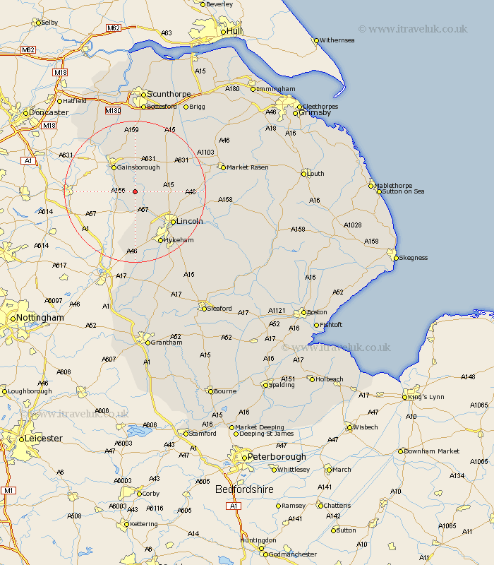
Lincolnshire Map Showing Location of Stow
Population: 355
District: West Lindsey
Easting: 487703 Northing: 380812
Latitude: 53.32 Longitude: -0.68
 = Stow
District: West Lindsey
Easting: 487703 Northing: 380812
Latitude: 53.32 Longitude: -0.68
= Stow
This Stow map below is supplied by Google. Use the tools in the top left corner to zoom into street level or zoom out for a road map, you may also need to zoom in to see Stow on the map. Click and drag the map to move around. If the map fails to load try and refresh your browser or zoom in or out (+ or -).
Update - it seems Google no longer allow people to use their maps for free! This Stow map sometimes loads and sometimes gives a error. I am working on a solution.
Closest 30 Towns or Cities to Stow (Population over 500)
Marton 3.32km Willingham 3.7km Torksey 4.98km Saxilby 5.98km Ingham 6.89km Lea 7.11km Scrampton 7.97km Scampton 7.97km Gainesborough 9.24km Gainsborough 9.24km Skellingthorpe 10.28km Morton 11.4km Blyton 13.15km North Scarle 13.4km Welton 13.42km Lincoln 13.62km Nettleham 14.41km Dunholm 14.51km Dunholme 14.51km Eagle 14.83km Thorpe-on-the-Hill 15.2km Thorpe 15.2km Thorpe on the Hill 15.2km Scothern 15.94km North Hykeham 16.25km Hykeham 16.25km Sudbrooke 16.47km Scotton 16.83km Kirton 17.57km Kirton in Lindsey 17.57km