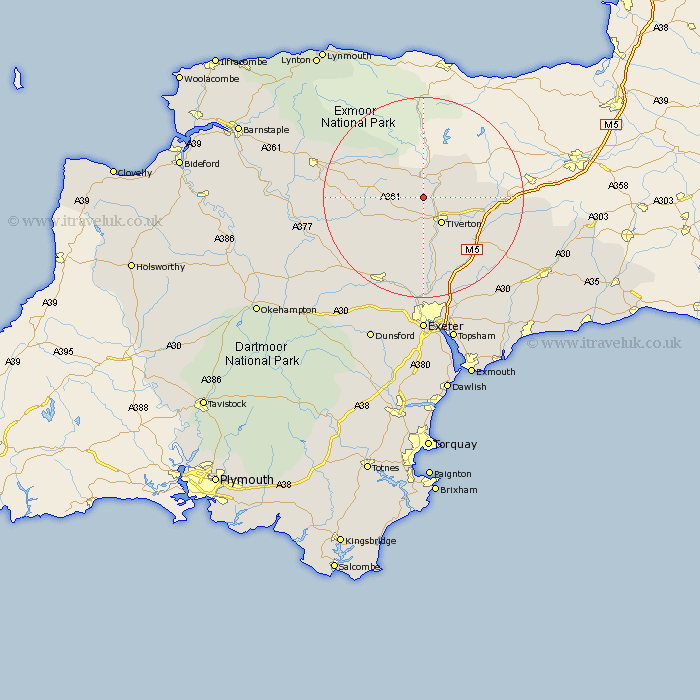
Devon Map Showing Location of Stoodleigh
Population: 298
District: Mid Devon
Easting: 292304 Northing: 117909
Latitude: 50.95 Longitude: -3.53
 = Stoodleigh
District: Mid Devon
Easting: 292304 Northing: 117909
Latitude: 50.95 Longitude: -3.53
= Stoodleigh
This Stoodleigh map below is supplied by Google. Use the tools in the top left corner to zoom into street level or zoom out for a road map, you may also need to zoom in to see Stoodleigh on the map. Click and drag the map to move around. If the map fails to load try and refresh your browser or zoom in or out (+ or -).
Update - it seems Google no longer allow people to use their maps for free! This Stoodleigh map sometimes loads and sometimes gives a error. I am working on a solution.
Closest 30 Towns or Cities to Stoodleigh (Population over 500)
Bampton 5.1km Tiverton 6.57km Sampford Peverell 9.52km Halberton 9.89km Cheriton Fitzpaine 12.56km Holcombe Rogus 12.97km Cullompton 13.16km Witheridge 13.37km Willand 13.84km Uffculme 15.08km Burlescombe 15.18km Silverton 15.23km Bradninch 15.34km Thorverton 16.68km Sandford 17.53km Kentisbeare 17.79km Morchard Bishop 18.83km Plymtree 19.62km Culmstock 20.2km Crediton 20.26km Stoke Canon 20.52km Lapford 20.87km St Cyres 20.91km Newton Saint Cyres 20.91km Newton St Cyres 20.91km St. Cyres 20.91km Newton St. Cyres 20.91km Saint Cyres 20.91km Hemyock 21.35km Broad Clyst 21.56km