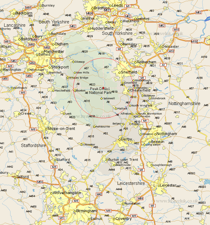
Derbyshire Map Showing Location of Stoney Middleton
Population: 504
District: Derbyshire Dales
Easting: 423341 Northing: 374499
Latitude: 53.27 Longitude: -1.65
 = Stoney Middleton
District: Derbyshire Dales
Easting: 423341 Northing: 374499
Latitude: 53.27 Longitude: -1.65
= Stoney Middleton
This Stoney Middleton map below is supplied by Google. Use the tools in the top left corner to zoom into street level or zoom out for a road map, you may also need to zoom in to see Stoney Middleton on the map. Click and drag the map to move around. If the map fails to load try and refresh your browser or zoom in or out (+ or -).
Update - it seems Google no longer allow people to use their maps for free! This Stoney Middleton map sometimes loads and sometimes gives a error. I am working on a solution.
Closest 30 Towns or Cities to Stoney Middleton (Population over 500)
Eyam 2.15km Grindleford Bridge 2.15km Grindleford 2.15km Baslow 4.33km Longstone 4.99km Great Longstone 4.99km Hathersage 5.56km Bakewell 7.5km Tideswell 7.76km Bradwell 8.67km Holmesfield 9.06km Bamford 9.52km Brampton 10.65km Old Brampton 10.65km Castleton 10.72km Barlow 11.08km Hope 11.4km Darley Dale 11.61km Youlgreave 11.61km Middleton 11.97km Dronfield 12.74km Walton 13.41km Unstone 14.52km Winster 14.83km Chesterfield 15.63km Ashover 15.71km Wingerworth 16.22km Brimington 16.73km Matlock 16.75km Bonsall 17.26km