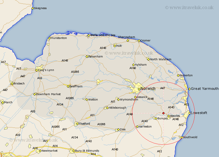
Norfolk Map Showing Location of Stockton
Population: 59
District: South Norfolk
Easting: 638751 Northing: 293120
Latitude: 52.48 Longitude: 1.52
 = Stockton
District: South Norfolk
Easting: 638751 Northing: 293120
Latitude: 52.48 Longitude: 1.52
= Stockton
This Stockton map below is supplied by Google. Use the tools in the top left corner to zoom into street level or zoom out for a road map, you may also need to zoom in to see Stockton on the map. Click and drag the map to move around. If the map fails to load try and refresh your browser or zoom in or out (+ or -).
Update - it seems Google no longer allow people to use their maps for free! This Stockton map sometimes loads and sometimes gives a error. I am working on a solution.
Closest 30 Towns or Cities to Stockton (Population over 500)
Ellingham 2.92km Loddon 5.02km Chedgrave 5.67km Ditchingham 5.94km Thurlton 6.51km Earsham 7.72km Reedham 8.15km Cantley 9.27km Thurton 9.32km Fritton 9.66km Freethorpe 11.35km Brooke 11.68km Poringland 13.5km Belton 14.6km Hempnall 14.79km Lingwood 15km Blofield 15.5km Hopton 15.68km Hopton on Sea 15.68km Hopton-on-Sea 15.68km Brundall 15.87km Stoke Holy Cross 16.43km Acle 16.83km Saxlingham Thorpe 17.81km Saxlingham 17.81km Harleston 18.33km South Walsham 18.57km Upton 18.67km Long Stratton 19.19km Pulham 19.53km