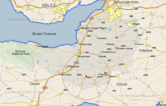
Somerset Map Showing Location of Stocklinch
Population: 137
District: South Somerset
Easting: 336786 Northing: 117175
Latitude: 50.95 Longitude: -2.9
 = Stocklinch
District: South Somerset
Easting: 336786 Northing: 117175
Latitude: 50.95 Longitude: -2.9
= Stocklinch
This Stocklinch map below is supplied by Google. Use the tools in the top left corner to zoom into street level or zoom out for a road map, you may also need to zoom in to see Stocklinch on the map. Click and drag the map to move around. If the map fails to load try and refresh your browser or zoom in or out (+ or -).
Update - it seems Google no longer allow people to use their maps for free! This Stocklinch map sometimes loads and sometimes gives a error. I am working on a solution.
Closest 30 Towns or Cities to Stocklinch (Population over 500)
Ilton 1.17km Ilminster 2.19km Broadway 5.03km Fivehead 5.68km South Petherton 7km Curry Rivel 7.51km Kingsbury 7.92km Kingsbury Episcopi 7.92km Hatch Beauchamp 7.92km North Curry 8.76km Combe St. Nicholas 8.95km Combe St Nicholas 8.95km Combe Saint Nicholas 8.95km Stoke St. Gregory 9.55km Stoke Saint Gregory 9.55km Stoke St Gregory 9.55km Crewkerne 10.21km Langport 10.37km Chard 10.37km Martock 10.67km Creech St Michael 11.03km Creech St. Michael 11.03km Creech Saint Michael 11.03km Winsham 11.12km West Chinnock 11.14km Misterton 11.62km Haselbury Plucknett 11.89km Long Sutton 11.92km Montacute 12.84km Tintinhull 12.97km