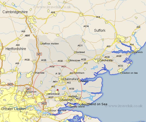
Essex Map Showing Location of Stock
Population: 2005
Area Size (ha): 71
District: Chelmsford
Easting: 568321 Northing: 197434
Latitude: 51.65 Longitude: 0.43
 = Stock
Area Size (ha): 71
District: Chelmsford
Easting: 568321 Northing: 197434
Latitude: 51.65 Longitude: 0.43
= Stock
This Stock map below is supplied by Google. Use the tools in the top left corner to zoom into street level or zoom out for a road map, you may also need to zoom in to see Stock on the map. Click and drag the map to move around. If the map fails to load try and refresh your browser or zoom in or out (+ or -).
Update - it seems Google no longer allow people to use their maps for free! This Stock map sometimes loads and sometimes gives a error. I am working on a solution.
Closest 30 Towns or Cities to Stock (Population over 500)
Margaretting 3.88km Billericay 3.88km Ramsden Heath 3.88km Ingatestone 3.92km West Hanningfield 4.6km Galleywood 6.02km Mountnessing 6.04km South Hanningfield 6.04km Great Baddow 7.21km Writtle 7.42km Great Burstead 7.51km Wickford 8km Rettendon 8.05km East Hanningfield 8.26km Brentwood 8.86km Basildon 9.54km Herongate 9.74km Chelmsford 9.88km Ingrave 10.13km Kelvedon Hatch 10.51km Danbury 10.74km Rawreth 10.75km Bicknacre 10.99km Bickacre 10.99km Woodham Ferrers 11.5km Roxwell 11.64km High Ongar 12.77km Little Baddow 13.05km Broomfield 13.18km Chipping Ongar 13.81km