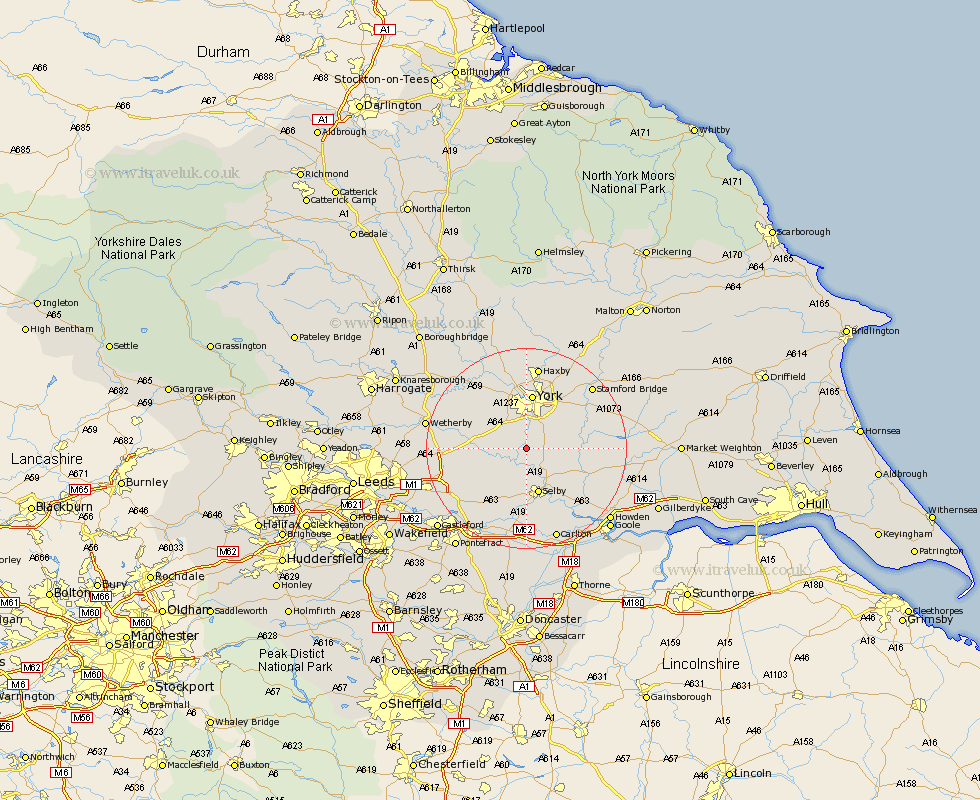
Yorkshire Map Showing Location of Stillingfleet
Population: 341
District: Selby
Easting: 459176 Northing: 441563
Latitude: 53.87 Longitude: -1.1
 = Stillingfleet
District: Selby
Easting: 459176 Northing: 441563
Latitude: 53.87 Longitude: -1.1
= Stillingfleet
This Stillingfleet map below is supplied by Google. Use the tools in the top left corner to zoom into street level or zoom out for a road map, you may also need to zoom in to see Stillingfleet on the map. Click and drag the map to move around. If the map fails to load try and refresh your browser or zoom in or out (+ or -).
Update - it seems Google no longer allow people to use their maps for free! This Stillingfleet map sometimes loads and sometimes gives a error. I am working on a solution.
Closest 30 Towns or Cities to Stillingfleet (Population over 500)
Acaster Malbis 3.7km Escrick 3.76km Cawood 3.87km Riccall 4.95km Wistow 5.56km Copmanthorpe 5.97km Bishopthorne 7.41km Bishopthorpe 7.41km Ulleskelf 7.87km Wheldrake 8.93km Church Fenton 9.46km Selby 9.53km Heslington 10.24km Tadcaster 11.08km Clifton 11.12km Brayton 11.17km York 11.17km Rufforth 11.35km Upper Poppleton 11.59km Poppleton 11.59km Hambleton 11.95km Sherburn in Elmet 12.32km Sherburn 12.32km Long Marston 12.73km New Earswick 13.15km Sutton 13.24km Sutton upon Derwent 13.24km Bubwith 13.25km Cliffe Common 13.5km Cliff Common Station 13.5km