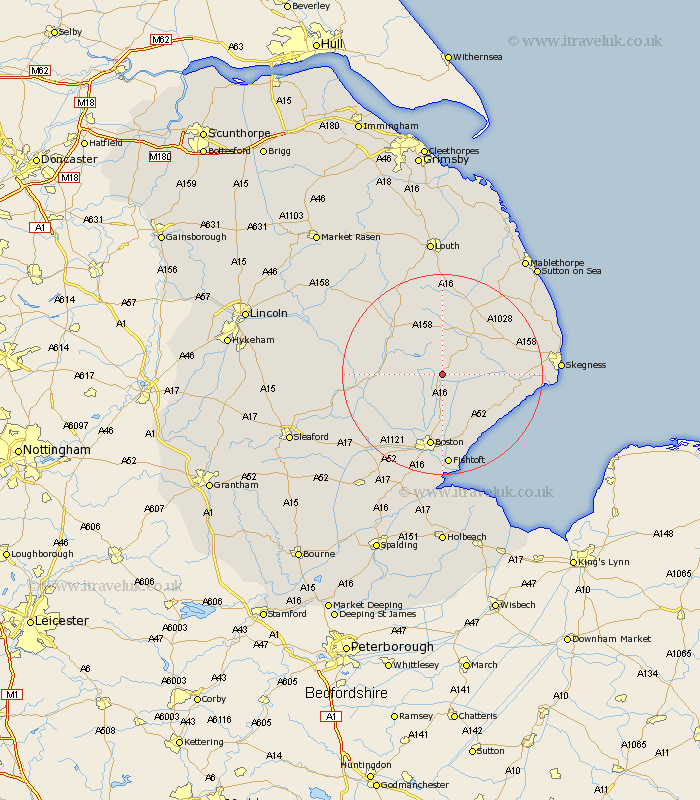
Lincolnshire Map Showing Location of Stickford
Population: 465
District: East Lindsey
Easting: 534953 Northing: 359657
Latitude: 53.12 Longitude: 0.02
 = Stickford
District: East Lindsey
Easting: 534953 Northing: 359657
Latitude: 53.12 Longitude: 0.02
= Stickford
This Stickford map below is supplied by Google. Use the tools in the top left corner to zoom into street level or zoom out for a road map, you may also need to zoom in to see Stickford on the map. Click and drag the map to move around. If the map fails to load try and refresh your browser or zoom in or out (+ or -).
Update - it seems Google no longer allow people to use their maps for free! This Stickford map sometimes loads and sometimes gives a error. I am working on a solution.
Closest 30 Towns or Cities to Stickford (Population over 500)
Stickney 3.71km Carrington 5.8km Spilsby 9.26km Mareham on the Hill 9.26km Mareham-on-the-Hill 9.26km Mareham 9.26km Sibsey 9.27km Frithville 9.86km Wrangle 11.43km Coningsby 12.24km Leake 12.44km Old Leake 12.44km Friskney 12.44km Horncastle 12.84km Banovallum 12.84km Leverton 13.72km Tattershall 14.58km Boston 15km Butterwick 15.21km Benington 15.49km Bennington 15.49km Croft 15.68km Wainfleet All Saints 15.68km Wainfleet 15.68km Woodhall Spa 16km Burgh le Marsh 16km Willoughby 16.52km Brothertoft 16.76km Frieston 16.83km Freiston 16.83km