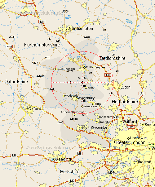
Buckinghamshire Map Showing Location of Stewkley
Population: 1451
Area Size (ha): 50
District: Aylesbury Vale
Easting: 485962 Northing: 225027
Latitude: 51.92 Longitude: -0.75
 = Stewkley
Area Size (ha): 50
District: Aylesbury Vale
Easting: 485962 Northing: 225027
Latitude: 51.92 Longitude: -0.75
= Stewkley
This Stewkley map below is supplied by Google. Use the tools in the top left corner to zoom into street level or zoom out for a road map, you may also need to zoom in to see Stewkley on the map. Click and drag the map to move around. If the map fails to load try and refresh your browser or zoom in or out (+ or -).
Update - it seems Google no longer allow people to use their maps for free! This Stewkley map sometimes loads and sometimes gives a error. I am working on a solution.
Closest 30 Towns or Cities to Stewkley (Population over 500)
Soulbury 2.94km Stoke Hammond 4.35km Wing 4.36km Mursley 4.93km Newton Longville 5.68km Great Brickhill 5.88km Whitechurch 6.82km Whitchurch 6.82km Bletchley 7.49km Winslow 8.81km North Marston 8.82km Shenley Brook End 9.33km Bow Brickhill 9.35km Great Horwood 9.74km Slapton 9.75km Milton Keynes 10.5km Cheddington 10.9km Shenley 11.35km Shenley Church End 11.35km Simpson 11.64km Aylesbury 11.64km Woburn Sands 12.24km Wavendon 12.5km Marsworth 12.5km Quainton 12.72km Ivinghoe 13.03km Bradwell 13.17km Aston Clinton 13.18km Buckland 13.18km Thornborough 13.61km