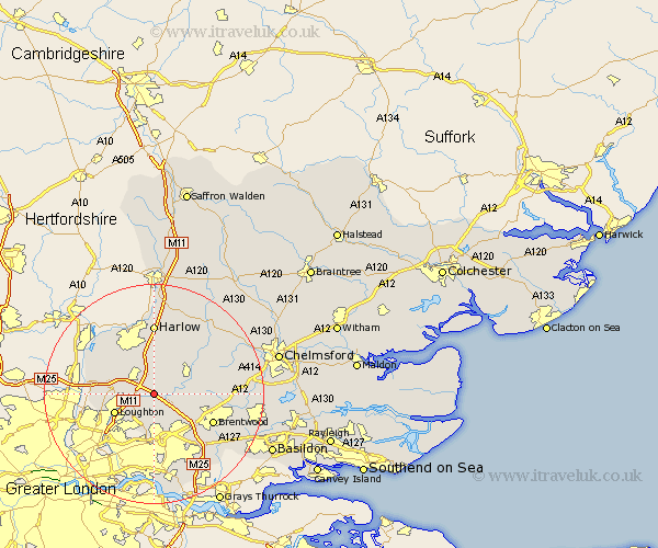
Essex Map Showing Location of Stapleford Tawney
Population: 103
District: Epping Forest
Easting: 549822 Northing: 198709
Latitude: 51.67 Longitude: 0.17
 = Stapleford Tawney
District: Epping Forest
Easting: 549822 Northing: 198709
Latitude: 51.67 Longitude: 0.17
= Stapleford Tawney
This Stapleford Tawney map below is supplied by Google. Use the tools in the top left corner to zoom into street level or zoom out for a road map, you may also need to zoom in to see Stapleford Tawney on the map. Click and drag the map to move around. If the map fails to load try and refresh your browser or zoom in or out (+ or -).
Update - it seems Google no longer allow people to use their maps for free! This Stapleford Tawney map sometimes loads and sometimes gives a error. I am working on a solution.
Closest 30 Towns or Cities to Stapleford Tawney (Population over 500)
Stanford Rivers 3.45km Ongar Station 3.7km North Weald 3.7km North Weald Bassett 3.88km Theydon Bois 4.6km Epping 5.06km Navestock 5.91km Chipping Ongar 6.83km High Ongar 7.83km Loughton 7.84km Chigwell 8km Kelvedon Hatch 8.05km Buckhurst Hill 9.92km Nazeing 10.12km Fyfield 10.12km Waltham Abbey 10.51km Brentwood 11.75km Harlow 12.97km Mountnessing 13.18km Matching 13.42km Roydon 14.42km Ingrave 14.78km Sheering 14.82km Herongate 14.94km Ingatestone 14.94km Hatfield Heath 15.22km Margaretting 17.34km Roxwell 17.57km Billericay 18.12km Stock 18.49km