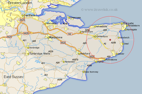
Kent Map Showing Location of Staple
Population: 521
District: Dover
Easting: 626775 Northing: 155167
Latitude: 51.25 Longitude: 1.25
 = Staple
District: Dover
Easting: 626775 Northing: 155167
Latitude: 51.25 Longitude: 1.25
= Staple
This Staple map below is supplied by Google. Use the tools in the top left corner to zoom into street level or zoom out for a road map, you may also need to zoom in to see Staple on the map. Click and drag the map to move around. If the map fails to load try and refresh your browser or zoom in or out (+ or -).
Update - it seems Google no longer allow people to use their maps for free! This Staple map sometimes loads and sometimes gives a error. I am working on a solution.
Closest 30 Towns or Cities to Staple (Population over 500)
Wingham 2.97km Eastry 3.94km Preston 5.68km Littlebourne 6.09km Northbourne 6.88km Worth 6.96km Sandwich 7.2km Sibertswold 7.51km Shepherdswell 7.51km Eythorne 7.77km Minster 8.75km Coldred 9.26km Bridge 9.47km Monkton 9.55km Mongeham 9.85km Great Mongeham 9.85km Chislet 9.89km Sturry 9.99km Sholden 9.99km Langdon 10.36km West Langdon 10.36km Hoath 10.93km Deal 11.08km St Nicholas at Wade 11.12km Saint Nicholas at Wade 11.12km St. Nicholas at Wade 11.12km Lydden 11.12km Ewell 11.18km Temple Ewell 11.18km Walmer 11.83km