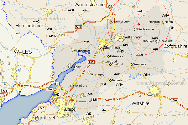
Gloucestershire Map Showing Location of Stanway
Population: 354
District: Tewkesbury
Easting: 405722 Northing: 231699
Latitude: 51.98 Longitude: -1.92
 = Stanway
District: Tewkesbury
Easting: 405722 Northing: 231699
Latitude: 51.98 Longitude: -1.92
= Stanway
This Stanway map below is supplied by Google. Use the tools in the top left corner to zoom into street level or zoom out for a road map, you may also need to zoom in to see Stanway on the map. Click and drag the map to move around. If the map fails to load try and refresh your browser or zoom in or out (+ or -).
Update - it seems Google no longer allow people to use their maps for free! This Stanway map sometimes loads and sometimes gives a error. I am working on a solution.
Closest 30 Towns or Cities to Stanway (Population over 500)
Winchcombe 4.35km Winchcomb 4.35km Dumbleton 5.05km Alderton 5.71km Chipping Campden 10.69km Southam 10.69km Bishops Cleeve 10.92km Blockley 12km Andoversford 13.16km Swindon 13.74km Stow on the Wold 13.74km Stow-on-the-Wold 13.74km Ashchurch 13.82km Ebrington 14.57km Cheltenham 14.71km Moreton-in-Marsh 14.84km Moreton in the Marsh 14.84km Moreton in Marsh 14.84km Mickleton 15.13km Tewkesbury 16.08km Charlton Kings 16.55km Withington 16.84km Leckhampton 17.28km Bourton on the Water 17.29km Bourton-on-the-Water 17.29km Northleach 18.03km Staverton 18.67km Shurdington 18.87km Deerhurst 19.49km Chedworth 20.38km