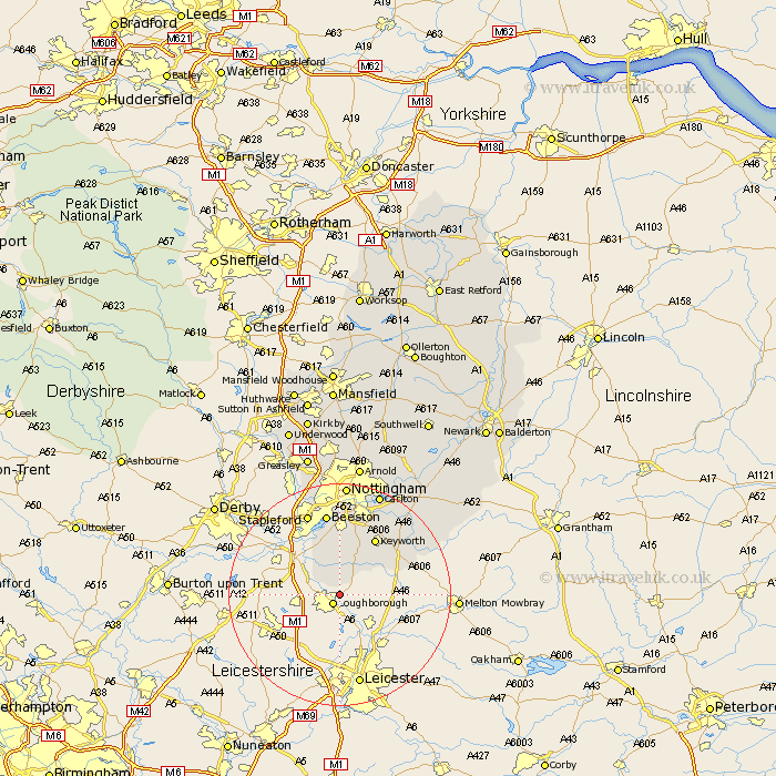
Nottinghamshire Map Showing Location of Stanford
Population: 110
District: Rushcliffe
Easting: 455075 Northing: 320985
Latitude: 52.78 Longitude: -1.18
 = Stanford
District: Rushcliffe
Easting: 455075 Northing: 320985
Latitude: 52.78 Longitude: -1.18
= Stanford
This Stanford map below is supplied by Google. Use the tools in the top left corner to zoom into street level or zoom out for a road map, you may also need to zoom in to see Stanford on the map. Click and drag the map to move around. If the map fails to load try and refresh your browser or zoom in or out (+ or -).
Update - it seems Google no longer allow people to use their maps for free! This Stanford map sometimes loads and sometimes gives a error. I am working on a solution.
Closest 30 Towns or Cities to Stanford (Population over 500)
East Leake 3.88km Costock 5.01km Sutton Bonington 7.14km Gotham 7.5km Bunny 8.14km Ruddington 11.34km Beeston 15km Kinoulton 15.35km West Bridgford 15.49km West Bridgeford 15.49km Stapleford 15.85km Tollerton 16.28km Cotgrave 16.43km Trowell 17.98km Cropwell Bishop 18.68km Radcliffe-on-Trent 19.48km Radcliffe 19.48km Radcliffe on Trent 19.48km Carlton 19.71km Colwick 19.71km Cropwell Butler 20.01km Cropwell 20.01km Nottingham 20.42km Nottigham 20.42km Cossall 21.47km Bingham 22.88km Kimberley 22.93km Barnstone 23.03km Awsworth 23.23km Shelford 23.26km