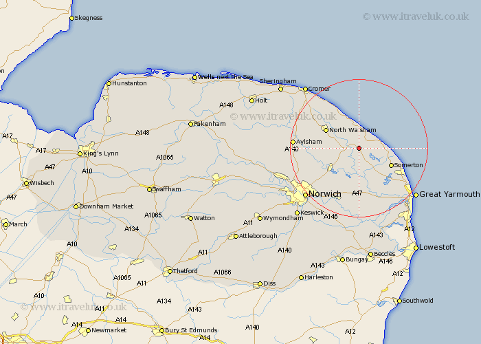
Norfolk Map Showing Location of Stalham
Population: 4022
Area Size (ha): 119
District: North Norfolk
Easting: 637212 Northing: 324625
Latitude: 52.77 Longitude: 1.52
 = Stalham
Area Size (ha): 119
District: North Norfolk
Easting: 637212 Northing: 324625
Latitude: 52.77 Longitude: 1.52
= Stalham
This Stalham map below is supplied by Google. Use the tools in the top left corner to zoom into street level or zoom out for a road map, you may also need to zoom in to see Stalham on the map. Click and drag the map to move around. If the map fails to load try and refresh your browser or zoom in or out (+ or -).
Update - it seems Google no longer allow people to use their maps for free! This Stalham map sometimes loads and sometimes gives a error. I am working on a solution.
Closest 30 Towns or Cities to Stalham (Population over 500)
Sutton 2.17km Catfield 3.88km Smallburgh 4.49km Hickling 4.85km Neatishead 5.01km Beeston 5.82km Beeston Saint Lawrence 5.82km Beeston St Lawrence 5.82km Beeston St. Lawrence 5.82km Worstead 5.9km Happisburgh 6.5km Potter Heigham 6.5km Walcott 7.49km Horning 7.5km Ludham 7.5km Bacton 9.85km Martham 10.02km Hoveton 10.47km North Walsham 10.55km Coltishall 10.76km Wroxham 10.8km Salhouse 11.46km Trunch 12.14km Lamas Little Hautbois 12.48km Lammas 12.48km Little Hautbois 12.48km Horstead 12.52km Felmingham 12.87km Mundesley 12.99km Mundersley 12.99km