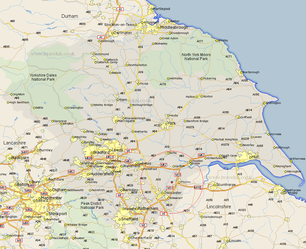
Yorkshire Map Showing Location of Stainforth
Population: 6647
Area Size (ha): 162
District: Doncaster
Easting: 463963 Northing: 411953
Latitude: 53.6 Longitude: -1.03
 = Stainforth
Area Size (ha): 162
District: Doncaster
Easting: 463963 Northing: 411953
Latitude: 53.6 Longitude: -1.03
= Stainforth
This Stainforth map below is supplied by Google. Use the tools in the top left corner to zoom into street level or zoom out for a road map, you may also need to zoom in to see Stainforth on the map. Click and drag the map to move around. If the map fails to load try and refresh your browser or zoom in or out (+ or -).
Update - it seems Google no longer allow people to use their maps for free! This Stainforth map sometimes loads and sometimes gives a error. I am working on a solution.
Closest 30 Towns or Cities to Stainforth (Population over 500)
Fishlake 1.1km Moorends 4.03km Barnby Dun 4.31km Barnby Don 4.31km Thorne 4.4km Hatfield 4.96km Kirk Sandall 6.47km Askern 6.85km Fleckney 7.41km Armthorpe 7.5km Pollington 7.74km Sutton 8.8km Doncaster 9.24km Snaith 9.26km Campsall 10.07km Norton 10.56km Adwick le Street 10.57km Carcroft 10.57km Bentley 10.69km Rawcliffe 10.77km Bessacarr 11.12km Carlton 11.17km Auckley 11.17km Cantley 11.17km Hensall 11.96km Whitley 12.04km North Elmsall 14.41km Warmsworth 14.89km Rossington 14.99km Finningley 15.19km