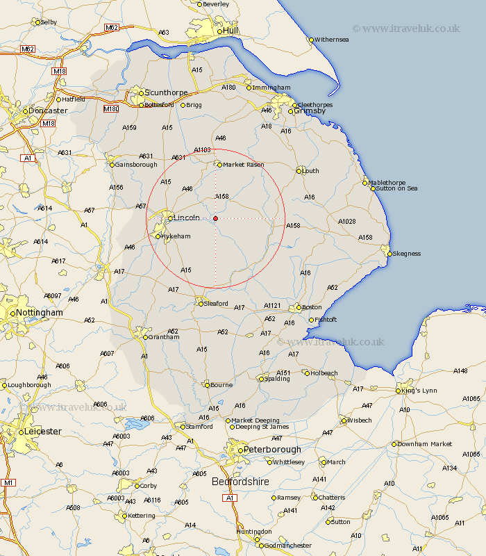
Lincolnshire Map Showing Location of Stainfield
Population: 91
District: West Lindsey
Easting: 510119 Northing: 371997
Latitude: 53.23 Longitude: -0.35
 = Stainfield
District: West Lindsey
Easting: 510119 Northing: 371997
Latitude: 53.23 Longitude: -0.35
= Stainfield
This Stainfield map below is supplied by Google. Use the tools in the top left corner to zoom into street level or zoom out for a road map, you may also need to zoom in to see Stainfield on the map. Click and drag the map to move around. If the map fails to load try and refresh your browser or zoom in or out (+ or -).
Update - it seems Google no longer allow people to use their maps for free! This Stainfield map sometimes loads and sometimes gives a error. I am working on a solution.
Closest 30 Towns or Cities to Stainfield (Population over 500)
Bardney 2.89km Cherry Willingham 5.1km Reepham 5.55km Fiskerton 5.55km Wragby 6.48km Potter Hanworth 7.12km Holton 7.5km Sudbrooke 7.62km Washingborough 7.98km Heighington 8.61km Nocton 8.63km Scothern 8.67km Branston 9.55km Nettleham 9.62km Dunston 9.84km Dunholme 10.73km Dunholm 10.73km Welton 11.56km Metheringham 11.61km Lincoln 12.2km Woodhall Spa 12.83km Martin 13.01km Waddington 14.28km Scopwick 15.19km Banovallum 15.97km Horncastle 15.97km Scampton 16.21km Scrampton 16.21km Hykeham 16.5km North Hykeham 16.5km