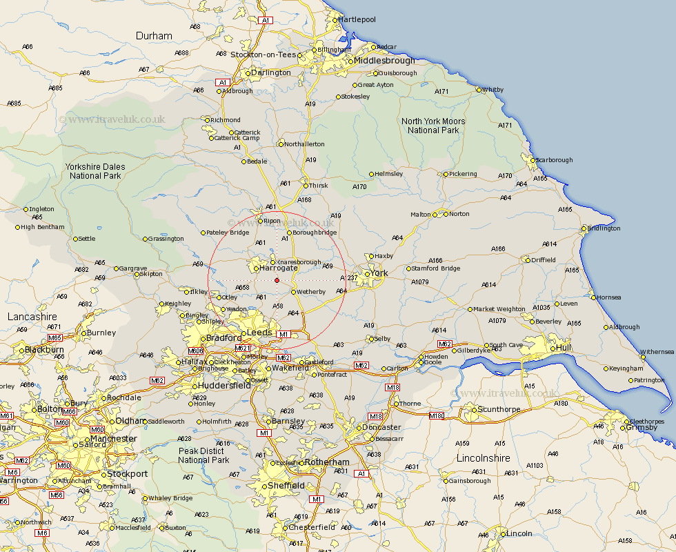
Yorkshire Map Showing Location of Spofforth
District: Harrogate
Easting: 436091 Northing: 450595
Latitude: 53.95 Longitude: -1.45
 = Spofforth
Easting: 436091 Northing: 450595
Latitude: 53.95 Longitude: -1.45
= Spofforth
This Spofforth map below is supplied by Google. Use the tools in the top left corner to zoom into street level or zoom out for a road map, you may also need to zoom in to see Spofforth on the map. Click and drag the map to move around. If the map fails to load try and refresh your browser or zoom in or out (+ or -).
Update - it seems Google no longer allow people to use their maps for free! This Spofforth map sometimes loads and sometimes gives a error. I am working on a solution.
Closest 30 Towns or Cities to Spofforth (Population over 500)
Pannal 5.45km Knaresborough 5.67km Wetherby 5.72km Collingham 6.45km Harewood 6.45km Harrogate 6.59km Bardsey 7.5km East Keswick 7.64km Weeton 8.49km Thorpe Arch 8.49km Thorp Arch 8.49km Boston Spa 8.59km Scarcroft 9.26km Killinghall 9.88km Bramham 9.89km Kirk Hammerton 10.49km Hammerton 10.49km Green Hammerton 11.28km Arthington 11.29km Arthington Junction Station 11.29km Thorner 11.33km Whixley 11.45km Pool-in-Wharfedale 12.25km Pool 12.25km Poole 12.25km Hampsthwaite 12.3km Bramhope 13.2km Burton Leonard 13.38km Marton le Moor 14.07km Marton 14.07km