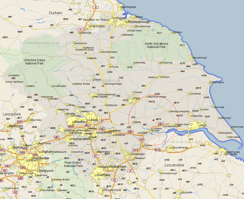
Yorkshire Map Showing Location of Spaldington
Population: 171
Easting: 475734 Northing: 434381
Latitude: 53.8 Longitude: -0.85
 = Spaldington
Easting: 475734 Northing: 434381
Latitude: 53.8 Longitude: -0.85
= Spaldington
This Spaldington map below is supplied by Google. Use the tools in the top left corner to zoom into street level or zoom out for a road map, you may also need to zoom in to see Spaldington on the map. Click and drag the map to move around. If the map fails to load try and refresh your browser or zoom in or out (+ or -).
Update - it seems Google no longer allow people to use their maps for free! This Spaldington map sometimes loads and sometimes gives a error. I am working on a solution.
Closest 30 Towns or Cities to Spaldington (Population over 500)
Bubwith 4.76km Seaton Ross 5.97km Holme upon Spalding Moor 6.61km Holme 6.61km Eastrington 7.08km Howden 7.5km Melbourne 9.26km Hook 9.26km Goole 9.33km Hemingbrough 9.51km Cliffe Common 9.51km Cliff Common Station 9.51km Airmyn 9.83km Wheldrake 12.02km Barlow 12.28km Swinefleet 13.02km Riccall 13.64km North Cave 13.65km Sutton 13.69km Sutton upon Derwent 13.69km Market Weighton 14.13km Selby 14.35km Rawcliffe 14.55km Barmby-on-the-Moor 14.98km Barmby 14.98km Barmby on the Moor 14.98km Newport 15.28km Carlton 15.61km Brayton 15.77km Escrick 16.06km