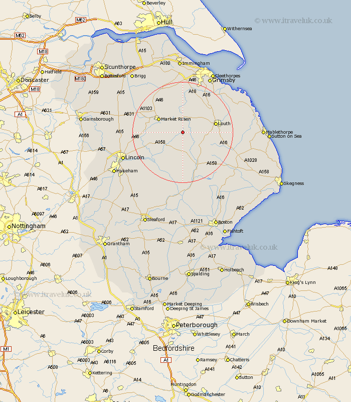
Lincolnshire Map Showing Location of South Willingham
Population: 170
District: East Lindsey
Easting: 519849 Northing: 383361
Latitude: 53.33 Longitude: -0.2
 = South Willingham
District: East Lindsey
Easting: 519849 Northing: 383361
Latitude: 53.33 Longitude: -0.2
= South Willingham
This South Willingham map below is supplied by Google. Use the tools in the top left corner to zoom into street level or zoom out for a road map, you may also need to zoom in to see South Willingham on the map. Click and drag the map to move around. If the map fails to load try and refresh your browser or zoom in or out (+ or -).
Update - it seems Google no longer allow people to use their maps for free! This South Willingham map sometimes loads and sometimes gives a error. I am working on a solution.
Closest 30 Towns or Cities to South Willingham (Population over 500)
Wragby 8.66km Holton 9.6km Market Rasen 10.45km binbrook 11.17km Middle Rasen 12.38km Louth 12.72km Bardney 15.11km Banovallum 15.82km Horncastle 15.82km Legbourne 16.6km Scothern 17.52km Fulstow 17.78km North Thoresby 17.86km Dunholm 18.1km Dunholme 18.1km Sudbrooke 18.19km Caistor 18.38km Nettleton 18.38km Cherry Willingham 18.66km Mareham-on-the-Hill 18.89km Mareham on the Hill 18.89km Mareham 18.89km Fiskerton 19.09km Reepham 19.09km Grimoldby 19.17km Welton 19.18km Nettleham 20.23km Manby 20.26km Woodhall Spa 20.41km Tetney 20.64km