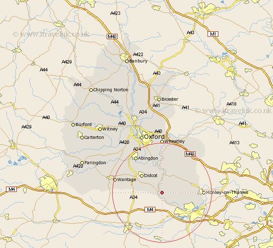
Oxfordshire Map Showing Location of South Stoke
Population: 458
District: South Oxfordshire
Easting: 460107 Northing: 182008
Latitude: 51.53 Longitude: -1.13
 = South Stoke
District: South Oxfordshire
Easting: 460107 Northing: 182008
Latitude: 51.53 Longitude: -1.13
= South Stoke
This South Stoke map below is supplied by Google. Use the tools in the top left corner to zoom into street level or zoom out for a road map, you may also need to zoom in to see South Stoke on the map. Click and drag the map to move around. If the map fails to load try and refresh your browser or zoom in or out (+ or -).
Update - it seems Google no longer allow people to use their maps for free! This South Stoke map sometimes loads and sometimes gives a error. I am working on a solution.
Closest 30 Towns or Cities to South Stoke (Population over 500)
Moulsford 1.15km Goring 1.85km Cholsey 3.89km Whitchurch 6.55km Blewbury 7.16km Wallingford 7.42km Nuffield 7.85km Ewelme 8.73km Hagbourne 8.87km East Hagbourne 8.87km Warborough 9.27km Chilton 9.41km Didcot 10.96km Nettlebed 11.02km Benson 11.18km Dorchester 11.36km Rotherfield Peppard 11.53km Harwell 12.75km Bix 12.81km Drayton Saint Leonard 12.98km Drayton St Leonard 12.98km Drayton 12.98km Drayton St. Leonard 12.98km Long Wittenham 13.09km Chalgrove 13.43km Clifton Hampden 13.77km Watlington 14.44km Sutton Courtenay 14.44km Milton 14.79km Stadhampton 14.83km