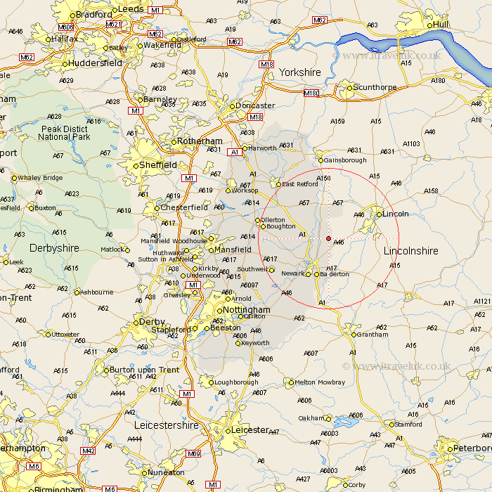
Nottinghamshire Map Showing Location of Scarle
Population: 173
District: Newark and Sherwood
Easting: 484668 Northing: 364068
Latitude: 53.17 Longitude: -0.73
 = Scarle
District: Newark and Sherwood
Easting: 484668 Northing: 364068
Latitude: 53.17 Longitude: -0.73
= Scarle
This Scarle map below is supplied by Google. Use the tools in the top left corner to zoom into street level or zoom out for a road map, you may also need to zoom in to see Scarle on the map. Click and drag the map to move around. If the map fails to load try and refresh your browser or zoom in or out (+ or -).
Update - it seems Google no longer allow people to use their maps for free! This Scarle map sometimes loads and sometimes gives a error. I am working on a solution.
Closest 30 Towns or Cities to Scarle (Population over 500)
North Collingham 2.16km Collingham 2.16km Muskham 7.86km North Muskham 7.86km Winthorpe 8.13km Coddington 9.34km Tuxford 11.44km Balderton 11.61km Newark on Trent 12.44km Newark-on-Trent 12.44km Newark upon Trent 12.44km Newark 12.44km Markham 13.62km East Markham 13.62km Farndon 15.13km Bampton 15.47km Rampton 15.47km Fiskerton 17.09km Fiskerton Ferry 17.09km North Leverton 17.58km Boughton 17.72km Southwell 17.95km Walesby 18.22km Grove 18.51km Elston 18.91km Elkesley 19.1km Elksley 19.1km Ollerton 19.68km Bleasby 19.96km Bilsthorpe 20.35km