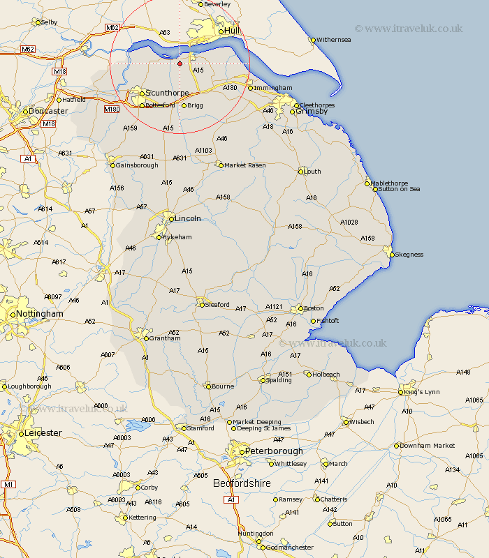
Lincolnshire Map Showing Location of South Ferriby
Population: 660
Easting: 499095 Northing: 419983
Latitude: 53.67 Longitude: -0.5
 = South Ferriby
Easting: 499095 Northing: 419983
Latitude: 53.67 Longitude: -0.5
= South Ferriby
This South Ferriby map below is supplied by Google. Use the tools in the top left corner to zoom into street level or zoom out for a road map, you may also need to zoom in to see South Ferriby on the map. Click and drag the map to move around. If the map fails to load try and refresh your browser or zoom in or out (+ or -).
Update - it seems Google no longer allow people to use their maps for free! This South Ferriby map sometimes loads and sometimes gives a error. I am working on a solution.
Closest 30 Towns or Cities to South Ferriby (Population over 500)
Winteringham 6.84km Winterton 6.85km Appleby 7.09km Barrow on Humber 7.9km Barrow-upon-Humber 7.9km Barrow-on-Humber 7.9km Barrow 7.9km Barrow upon Humber 7.9km New Holland 9.53km Goxhill 10.98km Wrawby 11.33km Broughton 11.6km Burton upon Stather 12.22km Burton 12.22km Ulceby 12.31km Barnetby le Wold 12.93km Barnetby 12.93km Brigg 13.02km Flixborough 13.3km Scunthorpe 13.56km East Halton 14.27km Scawby 15km Bottesford 16.32km Keadby 17.08km Messingham 17.83km Gunhouse 17.97km Gunness 17.97km Habrough 18.07km Hibaldstow 18.67km Keelby 19.89km