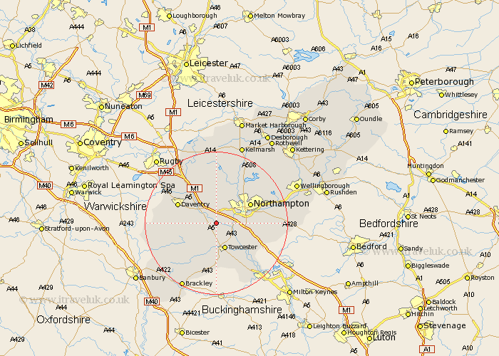
Northamptonshire Map Showing Location of Bugbrooke
Population: 2666
Area Size (ha): 62
District: South Northamptonshire
Easting: 467197 Northing: 256252
Latitude: 52.2 Longitude: -1.02
 = Bugbrooke
Area Size (ha): 62
District: South Northamptonshire
Easting: 467197 Northing: 256252
Latitude: 52.2 Longitude: -1.02
= Bugbrooke
This Bugbrooke map below is supplied by Google. Use the tools in the top left corner to zoom into street level or zoom out for a road map, you may also need to zoom in to see Bugbrooke on the map. Click and drag the map to move around. If the map fails to load try and refresh your browser or zoom in or out (+ or -).
Update - it seems Google no longer allow people to use their maps for free! This Bugbrooke map sometimes loads and sometimes gives a error. I am working on a solution.
Closest 30 Towns or Cities to Bugbrooke (Population over 500)
Pattishall 3.7km Weedon 3.88km Weedon Beck 3.88km Kislingbury 3.88km Harpole 4.34km Flore 4.35km Gayton 5.03km Blisworth 6.78km Milton 7.07km Towcester 7.76km Collingtree 8.17km Hardingstone 9.09km Wootton 9.28km Northampton 10.65km Roade 10.66km East Haddon 11.12km Badby 11.51km Long Buckby 11.63km Daventry 11.63km Boughton 12.2km Great Houghton 12.63km Houghton 12.63km Welton 12.97km Silverstone 12.98km Whittlebury 13.17km Hartwell 13.57km Spratton 13.75km Hackleton 13.76km Paulerspury 14.17km Pitsford 14.35km