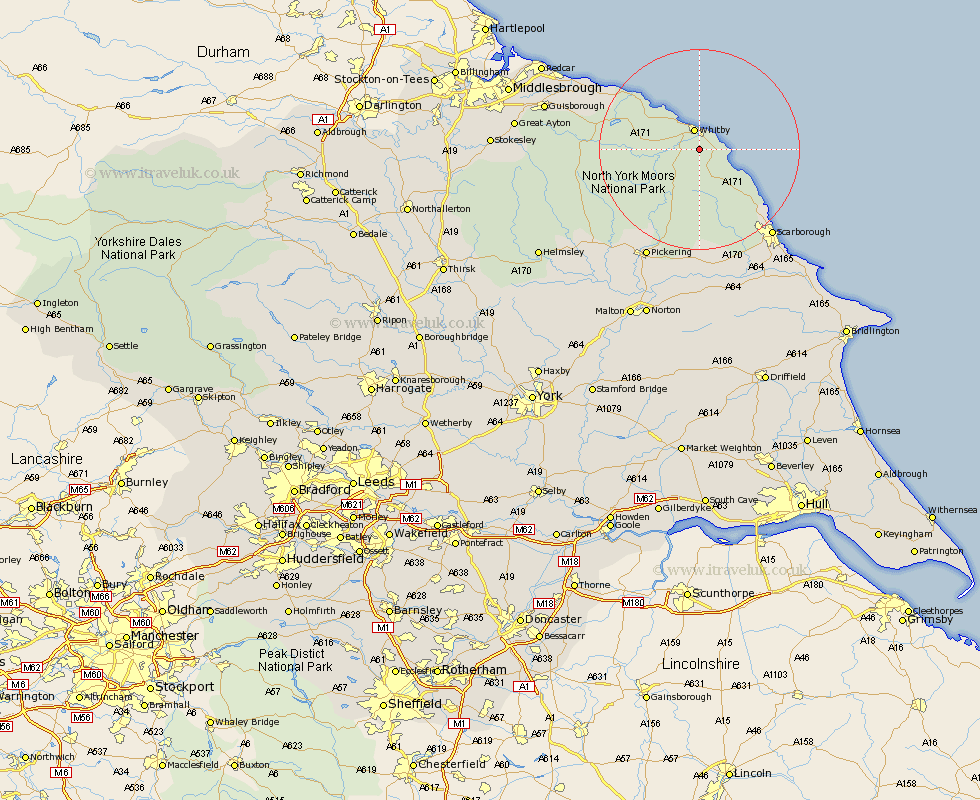
Yorkshire Map Showing Location of Sneaton
Population: 190
District: Scarborough
Easting: 489684 Northing: 506963
Latitude: 54.45 Longitude: -0.62
 = Sneaton
District: Scarborough
Easting: 489684 Northing: 506963
Latitude: 54.45 Longitude: -0.62
= Sneaton
This Sneaton map below is supplied by Google. Use the tools in the top left corner to zoom into street level or zoom out for a road map, you may also need to zoom in to see Sneaton on the map. Click and drag the map to move around. If the map fails to load try and refresh your browser or zoom in or out (+ or -).
Update - it seems Google no longer allow people to use their maps for free! This Sneaton map sometimes loads and sometimes gives a error. I am working on a solution.
Closest 30 Towns or Cities to Sneaton (Population over 500)
Sleights 3.23km Hawsker 3.23km Whitby 4.18km Fylingdales 6.54km Hinderwell 13.4km Cloughton 17.59km Burniston 18.99km Loftus 20.5km Scalby 22.02km Scarborough 22.36km Brotton 24.21km Pickering 24.27km Thornton Dale 24.95km Thornton-le-Dale 24.95km Snainton 26.03km Skelton 26.16km Skelton-in-Cleveland 26.16km Brompton 26.3km Seamer 26.87km Yedingham 27.8km Eastfield 27.89km Saltburn by the Sea 27.93km Saltburn-by-the-Sea 27.93km Saltburn 27.93km Kirkby Moorside 28.92km Kirby Moorside 28.92km Cayton 29.04km Guisborough 29.48km Marske by the Sea 30.35km Marske-by-the-Sea 30.35km