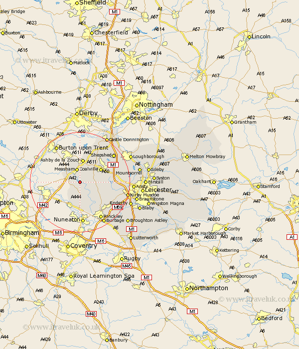
Leicestershire Map Showing Location of Snarestone
Population: 296
District: North West Leicestershire
Easting: 434936 Northing: 307829
Latitude: 52.67 Longitude: -1.48
 = Snarestone
District: North West Leicestershire
Easting: 434936 Northing: 307829
Latitude: 52.67 Longitude: -1.48
= Snarestone
This Snarestone map below is supplied by Google. Use the tools in the top left corner to zoom into street level or zoom out for a road map, you may also need to zoom in to see Snarestone on the map. Click and drag the map to move around. If the map fails to load try and refresh your browser or zoom in or out (+ or -).
Update - it seems Google no longer allow people to use their maps for free! This Snarestone map sometimes loads and sometimes gives a error. I am working on a solution.
Closest 30 Towns or Cities to Snarestone (Population over 500)
Appleby Magna 2.25km Shackerstone 3.85km Twycross 3.88km Heather 4.86km Ibstock 5.62km Measham 5.67km Packington 5.67km Donisthorpe 6.5km Ravenstone 6.73km Ravenstone with Snibston 6.73km Sheepy 7.75km Market Bosworth 7.91km Barlestone 8.7km Ashby de la Zouch 9.33km Coalville 9.63km Bagworth 10.29km Coleorton 10.83km Newbold Verdon 11.55km Swannington 11.64km Worthington 12.46km Stoke Golding 12.46km Higham-on-the-Hill 13.41km Higham on the Hill 13.41km Markfield 13.49km Breedon 14.13km Breedon-on-the-Hill 14.13km Breedon on the Hill 14.13km Desford 14.6km Belton 15.02km Hinckley 16.8km