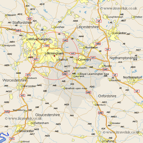
Warwickshire Map Showing Location of Small Heath
District: Birmingham
Easting: 412457 Northing: 283617
Latitude: 52.45 Longitude: -1.82
 = Small Heath
Easting: 412457 Northing: 283617
Latitude: 52.45 Longitude: -1.82
= Small Heath
This Small Heath map below is supplied by Google. Use the tools in the top left corner to zoom into street level or zoom out for a road map, you may also need to zoom in to see Small Heath on the map. Click and drag the map to move around. If the map fails to load try and refresh your browser or zoom in or out (+ or -).
Update - it seems Google no longer allow people to use their maps for free! This Small Heath map sometimes loads and sometimes gives a error. I am working on a solution.
Closest 30 Towns or Cities to Small Heath (Population over 500)
Solihull 4.34km Castle Bromwich 6km Bickenhill 6.78km Birmingham 7.02km Water Orton 7.92km Hampton in Arden 8.73km Knowle 9.33km Coleshill 9.66km Temple Balsall 12.95km Sutton Coldfield 12.98km Shustoke 13.61km Berkswell 13.62km Berkeswell 13.62km Meriden 13.68km Lapworth 13.74km Kingsbury 14.32km Nether Whitacre 14.6km Middleton 15.86km Fillongley 15.92km Hurley 16.66km Ullenhall 16.68km Arley 16.75km Rowington 16.81km Corley 18.07km Coventry 18.45km Allesley 18.45km Henley in Arden 18.85km Keresley 19.29km Kenilworth 19.35km Shrewley 19.54km