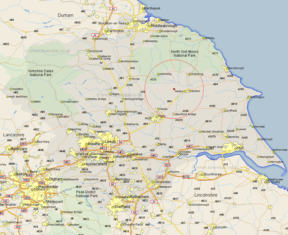
Yorkshire Map Showing Location of Slingsby
Population: 634
District: Ryedale
Easting: 470748 Northing: 473247
Latitude: 54.15 Longitude: -0.92
 = Slingsby
District: Ryedale
Easting: 470748 Northing: 473247
Latitude: 54.15 Longitude: -0.92
= Slingsby
This Slingsby map below is supplied by Google. Use the tools in the top left corner to zoom into street level or zoom out for a road map, you may also need to zoom in to see Slingsby on the map. Click and drag the map to move around. If the map fails to load try and refresh your browser or zoom in or out (+ or -).
Update - it seems Google no longer allow people to use their maps for free! This Slingsby map sometimes loads and sometimes gives a error. I am working on a solution.
Closest 30 Towns or Cities to Slingsby (Population over 500)
Terrington 4.93km Malton 7.19km Sheriff Hutton 9.19km Norton 9.88km Nawton 10.23km Kirkby Moorside 13.02km Kirby Moorside 13.02km Strensall 13.47km Rillington 14.11km Ampleforth 14.16km Stillington 14.17km Pickering 14.79km Helmsley 14.79km Huby 15.95km Thornton-le-Dale 15.97km Thornton Dale 15.97km Wigginton 17.76km Haxby 17.76km Stamford Bridge 18.54km Huntington 18.81km Earswick 18.81km Easingwold 18.83km Shipton 20km Yedingham 20.3km New Earswick 20.96km Fangfoss 21.09km Tollerton 21.64km Raskelf 21.79km Skelton 21.86km Alne 21.93km