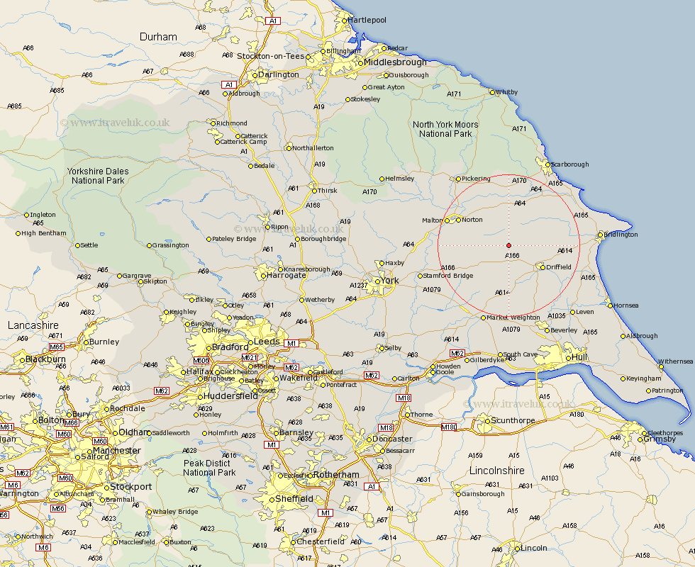
Yorkshire Map Showing Location of Sledmere
Population: 197
Easting: 493791 Northing: 464388
Latitude: 54.07 Longitude: -0.57
 = Sledmere
Easting: 493791 Northing: 464388
Latitude: 54.07 Longitude: -0.57
= Sledmere
This Sledmere map below is supplied by Google. Use the tools in the top left corner to zoom into street level or zoom out for a road map, you may also need to zoom in to see Sledmere on the map. Click and drag the map to move around. If the map fails to load try and refresh your browser or zoom in or out (+ or -).
Update - it seems Google no longer allow people to use their maps for free! This Sledmere map sometimes loads and sometimes gives a error. I am working on a solution.
Closest 30 Towns or Cities to Sledmere (Population over 500)
Wetwang 7.42km Great Driffield 9.45km Driffield 10.97km Sherburn 11.59km North Frodingham 12.38km Rillington 12.7km Kilham 13.19km Nafferton 13.2km Willerby 15.03km Yedingham 15.18km Norton 15.19km Cranswick 15.63km Snainton 16.71km Brompton 16.71km Malton 17.51km Pocklington 19.07km Lockington 19.32km Hunmanby 19.73km Seamer 20.46km Fangfoss 20.67km Thornton-le-Dale 20.94km Thornton Dale 20.94km Eastfield 21.47km Barmby-on-the-Moor 22.07km Barmby on the Moor 22.07km Barmby 22.07km Beeford 22.54km Cayton 22.65km Cherry Burton 22.66km Market Weighton 23.18km