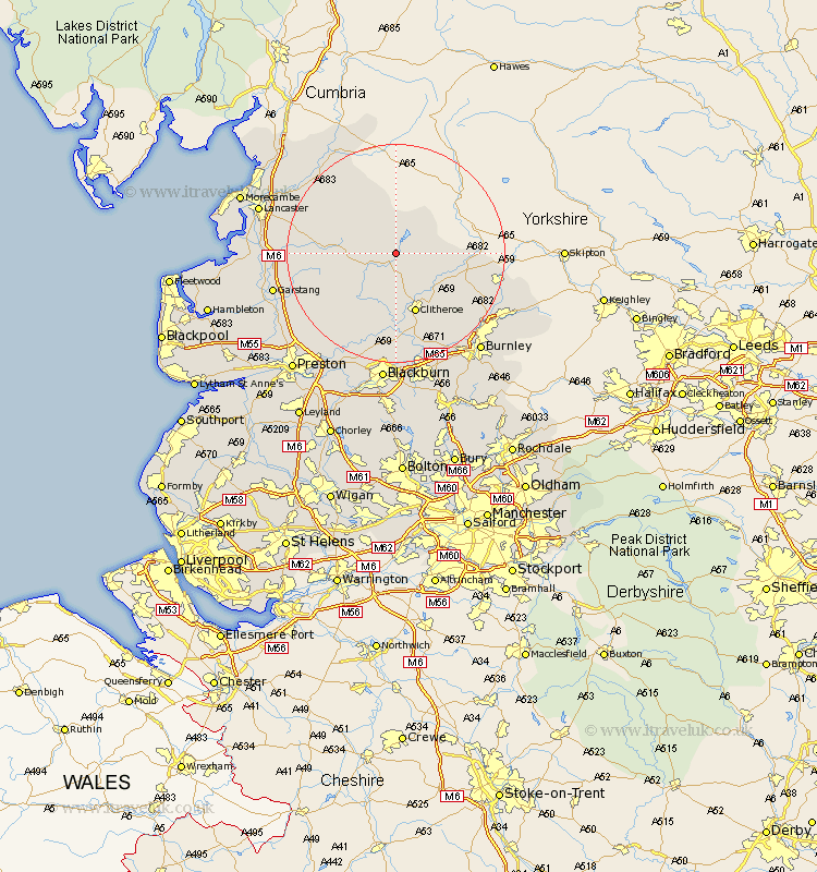
Lancashire Map Showing Location of Slaidburn
Population: 288
District: Ribble Valley
Easting: 370482 Northing: 452406
Latitude: 53.97 Longitude: -2.45
 = Slaidburn
District: Ribble Valley
Easting: 370482 Northing: 452406
Latitude: 53.97 Longitude: -2.45
= Slaidburn
This Slaidburn map below is supplied by Google. Use the tools in the top left corner to zoom into street level or zoom out for a road map, you may also need to zoom in to see Slaidburn on the map. Click and drag the map to move around. If the map fails to load try and refresh your browser or zoom in or out (+ or -).
Update - it seems Google no longer allow people to use their maps for free! This Slaidburn map sometimes loads and sometimes gives a error. I am working on a solution.
Closest 30 Towns or Cities to Slaidburn (Population over 500)
Grindleton 9.21km Waddington 9.53km Chatburn 11.35km Clitheroe 11.59km Gisburn 12.56km Chipping 12.74km Whalley 16.82km Longridge 17.21km Barnoldswick 18.32km Sabden 18.35km Langho 18.54km Ribchester 19.32km Salterforth 19.98km Barrowford 20.05km Great Harwood 20.51km Wilpshire 20.51km Caton 20.67km Claughton on Brock 20.7km Claughton 20.7km Claughton-on-Brock 20.7km Simonstone 21.42km Foulridge 21.63km Kelbrook 21.72km Altham 21.78km Forton 21.89km Brierfield 21.9km Goosnargh 21.9km Garstang 22.02km Grimsargh 22.09km Nelson 22.1km