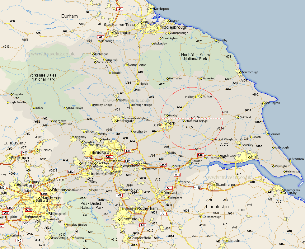
Yorkshire Map Showing Location of Skirpenbeck
Population: 142
Easting: 475373 Northing: 456629
Latitude: 54 Longitude: -0.85
 = Skirpenbeck
Easting: 475373 Northing: 456629
Latitude: 54 Longitude: -0.85
= Skirpenbeck
This Skirpenbeck map below is supplied by Google. Use the tools in the top left corner to zoom into street level or zoom out for a road map, you may also need to zoom in to see Skirpenbeck on the map. Click and drag the map to move around. If the map fails to load try and refresh your browser or zoom in or out (+ or -).
Update - it seems Google no longer allow people to use their maps for free! This Skirpenbeck map sometimes loads and sometimes gives a error. I am working on a solution.
Closest 30 Towns or Cities to Skirpenbeck (Population over 500)
Fangfoss 3.86km Stamford Bridge 4.74km Wilberfoss 5.97km Barmby 7.73km Barmby on the Moor 7.73km Barmby-on-the-Moor 7.73km Pocklington 9.89km Sutton upon Derwent 10.24km Sutton 10.24km Melbourne 12.98km Earswick 13.07km Huntington 13.07km Strensall 13.2km Heslington 13.22km Sheriff Hutton 13.48km Wigginton 14.28km Haxby 14.28km New Earswick 14.29km Terrington 15.05km Malton 15.05km Wheldrake 15.06km York 15.7km Norton 16.14km Clifton 16.76km Seaton Ross 16.82km Slingsby 17.24km Bishopthorpe 17.96km Bishopthorne 17.96km Escrick 18.43km Wetwang 18.52km