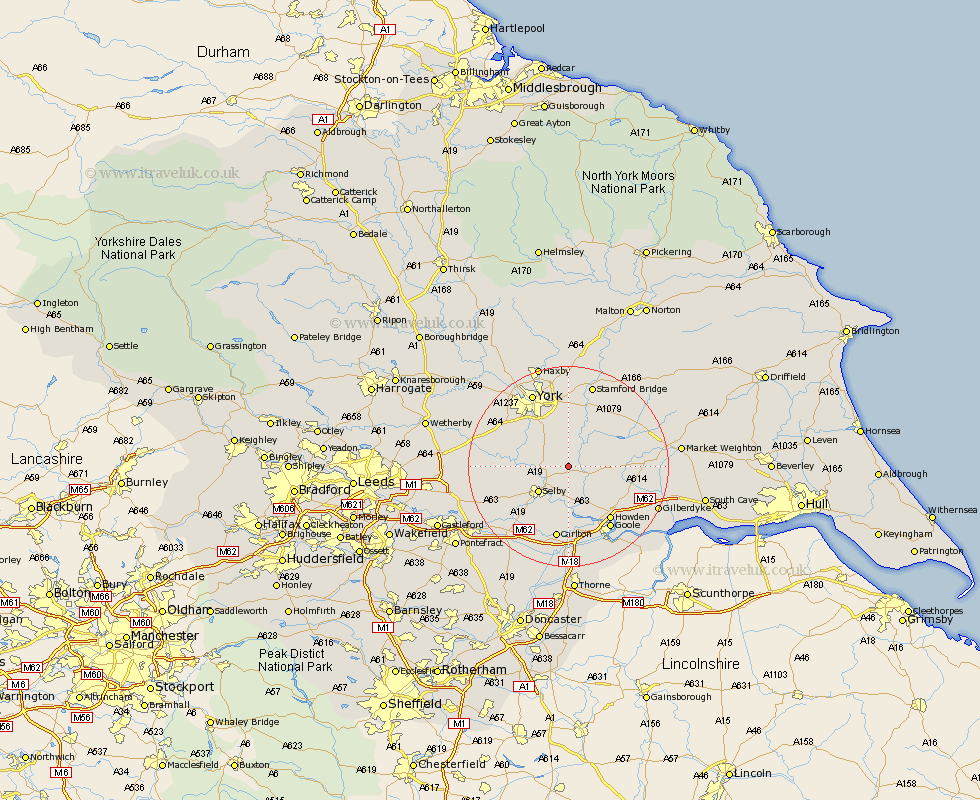
Yorkshire Map Showing Location of Skipwith
Population: 225
District: Selby
Easting: 466900 Northing: 437951
Latitude: 53.83 Longitude: -0.98
 = Skipwith
District: Selby
Easting: 466900 Northing: 437951
Latitude: 53.83 Longitude: -0.98
= Skipwith
This Skipwith map below is supplied by Google. Use the tools in the top left corner to zoom into street level or zoom out for a road map, you may also need to zoom in to see Skipwith on the map. Click and drag the map to move around. If the map fails to load try and refresh your browser or zoom in or out (+ or -).
Update - it seems Google no longer allow people to use their maps for free! This Skipwith map sometimes loads and sometimes gives a error. I am working on a solution.
Closest 30 Towns or Cities to Skipwith (Population over 500)
Riccall 4.37km Bubwith 4.75km Wheldrake 5.67km Escrick 7.07km Hemingbrough 7.41km Cliff Common Station 7.41km Cliffe Common 7.41km Selby 7.8km Wistow 7.88km Cawood 8.75km Barlow 9.52km Brayton 9.9km Sutton upon Derwent 10.25km Sutton 10.25km Melbourne 10.36km Acaster Malbis 10.65km Seaton Ross 11.09km Heslington 13.38km Bishopthorpe 13.5km Bishopthorne 13.5km Howden 13.51km Copmanthorpe 13.52km Airmyn 14.07km Hambleton 14.14km Holme 14.22km Holme upon Spalding Moor 14.22km Wilberfoss 14.54km Carlton 14.98km Goole 15.06km Ulleskelf 15.42km