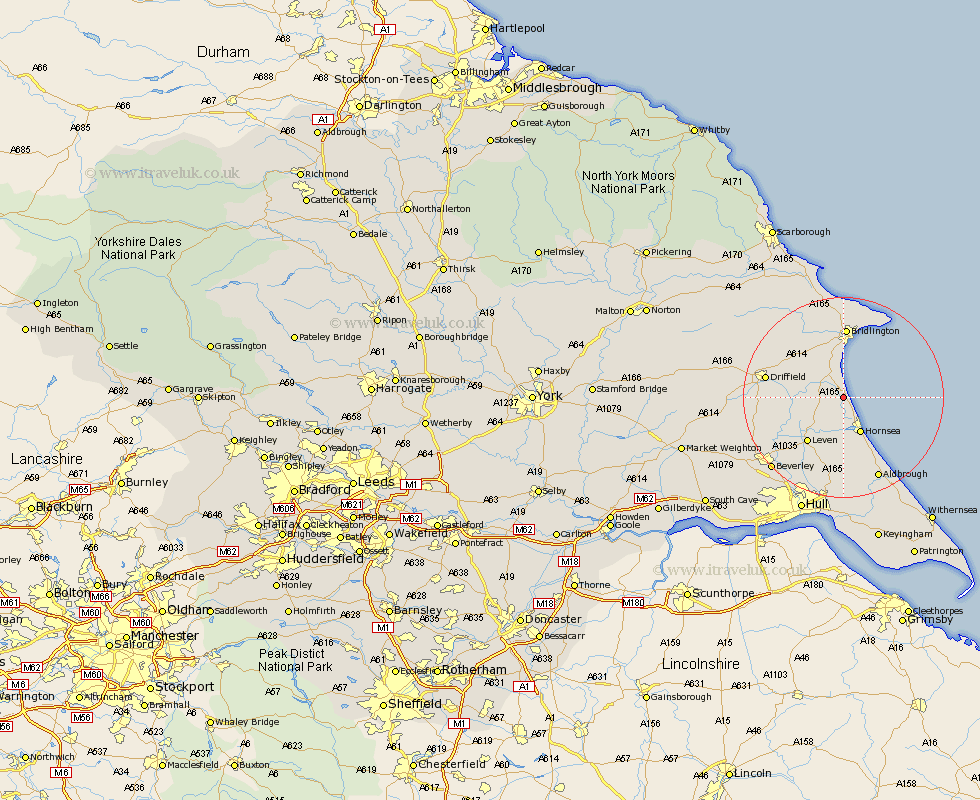
Yorkshire Map Showing Location of Skipsea
Population: 633
Easting: 516972 Northing: 453785
Latitude: 53.97 Longitude: -0.22
 = Skipsea
Easting: 516972 Northing: 453785
Latitude: 53.97 Longitude: -0.22
= Skipsea
This Skipsea map below is supplied by Google. Use the tools in the top left corner to zoom into street level or zoom out for a road map, you may also need to zoom in to see Skipsea on the map. Click and drag the map to move around. If the map fails to load try and refresh your browser or zoom in or out (+ or -).
Update - it seems Google no longer allow people to use their maps for free! This Skipsea map sometimes loads and sometimes gives a error. I am working on a solution.
Closest 30 Towns or Cities to Skipsea (Population over 500)
Dunnington 2.86km Beeford 3.27km Brandesburton 7.79km Brandsburton 7.79km Hornsea 8.11km Leven 11.35km Nafferton 12.23km Kilham 13.49km Bridlington 14.28km Cranswick 14.3km Driffield 14.85km Tickton 15.58km Flamborough 16.2km Skirlaugh Station 16.82km North Frodingham 17.44km Aldbrough 17.92km Bempton 18.81km Leconfield 18.9km Leckonfield 18.9km Lockington 18.97km Beverley 19.79km Walkington 19.94km Woodmansey 19.94km Great Driffield 20.49km Wawne 20.49km Sproatley 20.51km Sutton on Hull 21.42km Sutton 21.42km Sutton-on-Hull 21.42km Cherry Burton 21.63km