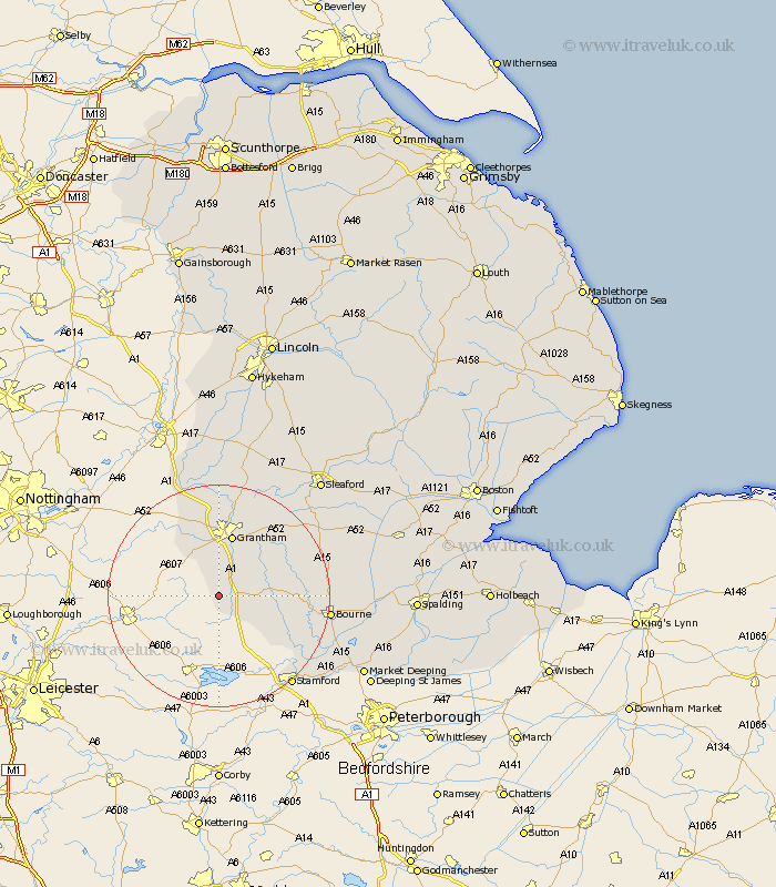
Lincolnshire Map Showing Location of Skillington
Population: 265
District: South Kesteven
Easting: 489882 Northing: 323363
Latitude: 52.8 Longitude: -0.67
 = Skillington
District: South Kesteven
Easting: 489882 Northing: 323363
Latitude: 52.8 Longitude: -0.67
= Skillington
This Skillington map below is supplied by Google. Use the tools in the top left corner to zoom into street level or zoom out for a road map, you may also need to zoom in to see Skillington on the map. Click and drag the map to move around. If the map fails to load try and refresh your browser or zoom in or out (+ or -).
Update - it seems Google no longer allow people to use their maps for free! This Skillington map sometimes loads and sometimes gives a error. I am working on a solution.
Closest 30 Towns or Cities to Skillington (Population over 500)
Colsterworth 3.36km South Witham 6.5km Harlaxton 7.5km Corby 10.08km Barrowby 11.18km Grantham 11.34km Castle Bytham 11.64km Great Gonerby 12.98km Ropsley 13.69km Allington 15.2km Belton 15.48km Long Bennington 19.36km Folkingham 19.39km Bourn 19.41km Bourne 19.41km Rippingale 20.25km Morton 20.26km Ancaster 20.58km Stamford 20.75km Thurlby 22.21km Pointon 23.08km Uffington 23.7km Baston 24.04km Billingborough 24.23km Caythorpe 24.51km Langtoft 25.04km Langfoft 25.04km Claypole 26.32km Fulbeck 26.54km Sleaford 27.54km