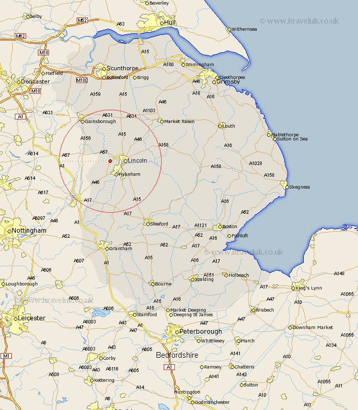
Lincolnshire Map Showing Location of Skellingthorpe
Population: 2711
Area Size (ha): 96
District: North Kesteven
Easting: 492323 Northing: 371620
Latitude: 53.23 Longitude: -0.62
 = Skellingthorpe
Area Size (ha): 96
District: North Kesteven
Easting: 492323 Northing: 371620
Latitude: 53.23 Longitude: -0.62
= Skellingthorpe
This Skellingthorpe map below is supplied by Google. Use the tools in the top left corner to zoom into street level or zoom out for a road map, you may also need to zoom in to see Skellingthorpe on the map. Click and drag the map to move around. If the map fails to load try and refresh your browser or zoom in or out (+ or -).
Update - it seems Google no longer allow people to use their maps for free! This Skellingthorpe map sometimes loads and sometimes gives a error. I am working on a solution.
Closest 30 Towns or Cities to Skellingthorpe (Population over 500)
Saxilby 4.33km Lincoln 5.55km Thorpe 5.67km Thorpe-on-the-Hill 5.67km Thorpe on the Hill 5.67km North Hykeham 5.98km Hykeham 5.98km Eagle 7.12km Scampton 8.13km Scrampton 8.13km North Scarle 8.61km Waddington 9.25km Aubourn 9.26km Torksey 9.55km Nettleham 9.62km Washingborough 10.15km Heighington 10.65km Swinderby 10.8km Ingham 11.34km Branston 11.43km Welton 11.56km Sudbrooke 11.69km Marton 12.09km Fiskerton 12.2km Reepham 12.2km Scothern 12.4km Dunholme 12.43km Dunholm 12.43km Cherry Willingham 12.65km Bassingham 13.01km