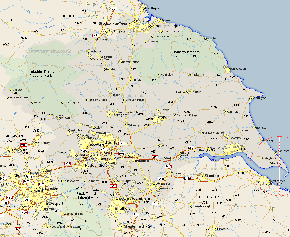
Yorkshire Map Showing Location of Skeffling
Population: 153
Easting: 536580 Northing: 419065
Latitude: 53.65 Longitude: 0.07
 = Skeffling
Easting: 536580 Northing: 419065
Latitude: 53.65 Longitude: 0.07
= Skeffling
This Skeffling map below is supplied by Google. Use the tools in the top left corner to zoom into street level or zoom out for a road map, you may also need to zoom in to see Skeffling on the map. Click and drag the map to move around. If the map fails to load try and refresh your browser or zoom in or out (+ or -).
Update - it seems Google no longer allow people to use their maps for free! This Skeffling map sometimes loads and sometimes gives a error. I am working on a solution.
Closest 30 Towns or Cities to Skeffling (Population over 500)
Easington 3.78km Patrington 5.8km Withernsea 9.52km Ottringham 11.34km Keyingham 13.29km Roos 13.51km Burstwick 16.1km Burton Pidsea 16.99km Thorngumbold 17.06km Thorngumbald 17.06km Hedon 18.89km Walkington 20.06km Paull 21.1km Preston 21.83km Aldbrough 22.11km Sproatley 22.14km Kingston upon Hull 27.37km Skirlaugh Station 27.88km Hull 28.88km Sutton on Hull 29.26km Sutton-on-Hull 29.26km Sutton 29.26km Hornsea 31.75km Wawne 32.09km Cottingham 33.11km Barton upon Humber 33.15km Barton 33.15km Hessle 33.75km Anlaby 34.2km Woodmansey 34.92km