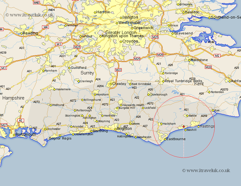
Sussex Map Showing Location of Sidley
District: Rother
Easting: 573615 Northing: 108570
Latitude: 50.85 Longitude: 0.47
 = Sidley
Easting: 573615 Northing: 108570
Latitude: 50.85 Longitude: 0.47
= Sidley
This Sidley map below is supplied by Google. Use the tools in the top left corner to zoom into street level or zoom out for a road map, you may also need to zoom in to see Sidley on the map. Click and drag the map to move around. If the map fails to load try and refresh your browser or zoom in or out (+ or -).
Update - it seems Google no longer allow people to use their maps for free! This Sidley map sometimes loads and sometimes gives a error. I am working on a solution.
Closest 30 Towns or Cities to Sidley (Population over 500)
Bexhill 2.71km Crowhurst 2.99km Catsfield 3.88km Ninfield 3.97km Battle 7.78km Sedlescombe 8.77km Westfield 8.95km Pevensey Bay 8.96km Mountfield 9.26km Hastings 9.36km Pevensey 9.9km Hurstmonceaux 10.06km Hurstmonceux 10.06km Herstmonceux 10.06km Brede 11.94km Guestling 12.27km Fairlight 12.27km Hailsham 14.16km Pett 14.52km Eastbourne 14.71km Robertsbridge 14.82km Icklesham 15.09km Hellingly 15.32km Warbleton 15.85km Hurst Green 16.68km Etchingham 16.84km Horam 16.91km Horeham 16.91km Polegate 17.31km Beckley 17.46km