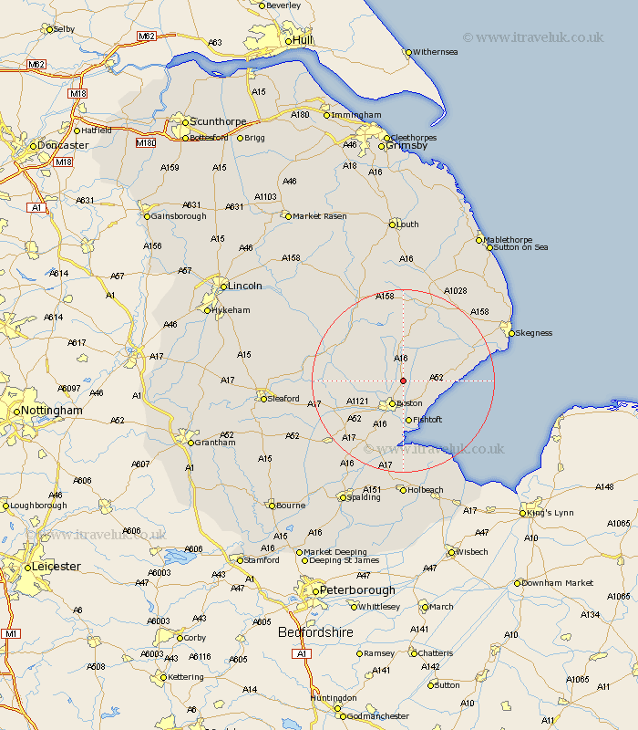
Lincolnshire Map Showing Location of Sibsey
Population: 1996
District: East Lindsey
Easting: 535214 Northing: 350381
Latitude: 53.03 Longitude: 0.02
 = Sibsey
District: East Lindsey
Easting: 535214 Northing: 350381
Latitude: 53.03 Longitude: 0.02
= Sibsey
This Sibsey map below is supplied by Google. Use the tools in the top left corner to zoom into street level or zoom out for a road map, you may also need to zoom in to see Sibsey on the map. Click and drag the map to move around. If the map fails to load try and refresh your browser or zoom in or out (+ or -).
Update - it seems Google no longer allow people to use their maps for free! This Sibsey map sometimes loads and sometimes gives a error. I am working on a solution.
Closest 30 Towns or Cities to Sibsey (Population over 500)
Frithville 3.34km Stickney 5.56km Leverton 5.8km Leake 5.87km Old Leake 5.87km Boston 5.99km Butterwick 6.49km Wrangle 6.69km Carrington 7.13km Bennington 7.13km Benington 7.13km Frieston 7.73km Freiston 7.73km Fishtoft 9.33km Brothertoft 9.58km Wyberton 11.34km Friskney 11.74km Frampton 13.16km Kirton 13.71km Coningsby 15.36km Swineshead 15.75km Sutterton 16.26km Tattershall 16.27km Wainfleet All Saints 17.26km Wainfleet 17.26km Spilsby 17.58km Mareham-on-the-Hill 17.58km Mareham 17.58km Mareham on the Hill 17.58km Bicker 17.85km