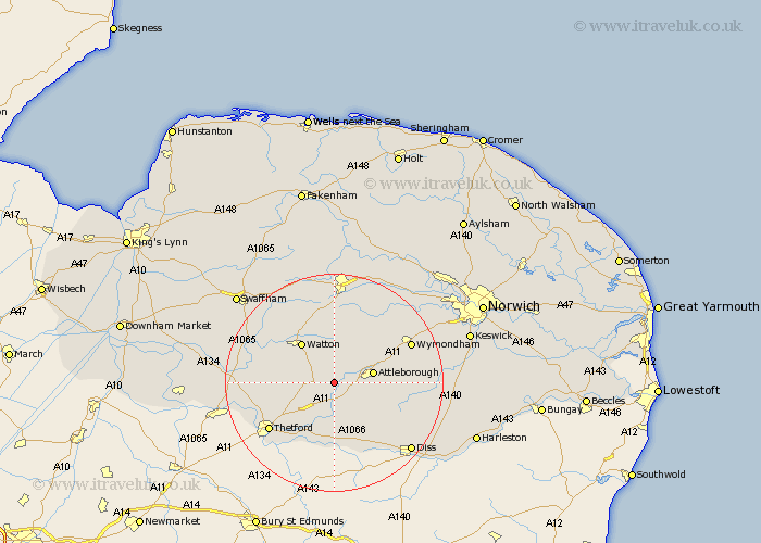
Norfolk Map Showing Location of Shropham
Population: 351
District: Breckland
Easting: 597951 Northing: 293161
Latitude: 52.5 Longitude: 0.92
 = Shropham
District: Breckland
Easting: 597951 Northing: 293161
Latitude: 52.5 Longitude: 0.92
= Shropham
This Shropham map below is supplied by Google. Use the tools in the top left corner to zoom into street level or zoom out for a road map, you may also need to zoom in to see Shropham on the map. Click and drag the map to move around. If the map fails to load try and refresh your browser or zoom in or out (+ or -).
Update - it seems Google no longer allow people to use their maps for free! This Shropham map sometimes loads and sometimes gives a error. I am working on a solution.
Closest 30 Towns or Cities to Shropham (Population over 500)
Hockham 2.26km Rockland St Peter 3.7km Rockland 3.7km Rockland Saint Peter 3.7km Rockland St. Peter 3.7km Great Ellingham 5.02km Griston 6.51km Attleborough 7.02km Quidenham 7.16km East Harling 7.5km Besthorpe 8.11km Kenninghall 8.68km Old Buckenham 9.22km Watton 9.32km Harling 9.33km Carbrooke 9.53km Carbooke 9.53km Banham 9.66km Hingham 10.3km North Lopham 12.47km Shipdham 13.03km Garboldisham 13.17km Ashill 13.63km Thetford 14.61km Bunwell 14.79km Bressingham 15.2km Wymondham 15.43km Yaxham 17.02km Mundford 18.05km Ashwellthorpe 18.42km