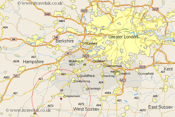
Surrey Map Showing Location of Shottermill
District: Waverley
Easting: 488743 Northing: 130529
Latitude: 51.07 Longitude: -0.73
 = Shottermill
Easting: 488743 Northing: 130529
Latitude: 51.07 Longitude: -0.73
= Shottermill
This Shottermill map below is supplied by Google. Use the tools in the top left corner to zoom into street level or zoom out for a road map, you may also need to zoom in to see Shottermill on the map. Click and drag the map to move around. If the map fails to load try and refresh your browser or zoom in or out (+ or -).
Update - it seems Google no longer allow people to use their maps for free! This Shottermill map sometimes loads and sometimes gives a error. I am working on a solution.
Closest 30 Towns or Cities to Shottermill (Population over 500)
Haslemere 2.97km Hindhead 3.7km Thursley 7.5km Chiddingfold 8.95km Hambledon 9.86km Witley 10.18km Frensham 10.37km Elstead 11.36km Dunsfold 12.22km Milford 13.13km Seale 14.87km Alfold 15.25km Puttenham 15.54km Farnham 15.54km Goldaming 15.96km Godalming 15.96km Compton 16.38km Tongham 16.68km Bramley 18.22km Shalford 18.84km Cranleigh 18.96km Wonersh 19.05km Guildford 20.33km Guilford 20.33km Normandy 20.91km Ewhurst 22.22km St. Martha 22.51km Saint Martha 22.51km St Martha 22.51km Chilworth 22.51km