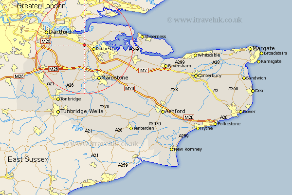
Kent Map Showing Location of Shorne
Population: 2485
District: Gravesham
Easting: 569246 Northing: 169638
Latitude: 51.4 Longitude: 0.43
 = Shorne
District: Gravesham
Easting: 569246 Northing: 169638
Latitude: 51.4 Longitude: 0.43
= Shorne
This Shorne map below is supplied by Google. Use the tools in the top left corner to zoom into street level or zoom out for a road map, you may also need to zoom in to see Shorne on the map. Click and drag the map to move around. If the map fails to load try and refresh your browser or zoom in or out (+ or -).
Update - it seems Google no longer allow people to use their maps for free! This Shorne map sometimes loads and sometimes gives a error. I am working on a solution.
Closest 30 Towns or Cities to Shorne (Population over 500)
Cobham 2.97km Rochester 4.14km Higham 4.37km Strood 4.98km Cuxton 5.68km Gravesend 5.92km Meopham 5.93km Chatham 6.07km Wouldham 7.77km Northfleet 7.86km Southfleet 8.09km Longfield 8.31km High Halstow 8.9km Swanscombe 8.9km Hartley 8.9km Hoo 9.25km Snodland 9.26km Gillingham 9.39km Burham 9.89km Ash 10.8km Ridley 10.98km Stonewood 11.04km Ryarsh 11.65km West Malling 13.18km Addington 13.18km Stoke 13.24km Aylesford 13.43km Wrotham 13.76km Offham 13.78km Darenth 14km