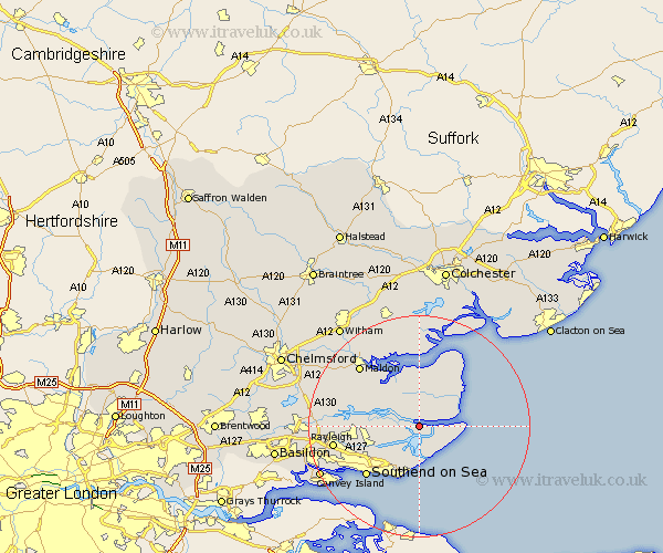
Essex Map Showing Location of Burnham
Population: 6781
Area Size (ha): 202
District: Maldon
Easting: 596129 Northing: 194726
Latitude: 51.62 Longitude: 0.83
 = Burnham
Area Size (ha): 202
District: Maldon
Easting: 596129 Northing: 194726
Latitude: 51.62 Longitude: 0.83
= Burnham
This Burnham map below is supplied by Google. Use the tools in the top left corner to zoom into street level or zoom out for a road map, you may also need to zoom in to see Burnham on the map. Click and drag the map to move around. If the map fails to load try and refresh your browser or zoom in or out (+ or -).
Update - it seems Google no longer allow people to use their maps for free! This Burnham map sometimes loads and sometimes gives a error. I am working on a solution.
Closest 30 Towns or Cities to Burnham (Population over 500)
Southminster 3.71km Mayland 5.06km Canewdon 6.05km Canewelon 6.05km Barling 6.54km Althorne 6.84km Tillingham 8.17km Little Wakering 8.18km Latchingdon 8.86km Snoreham 8.86km Latchingdon and Snoreham 8.86km Rochford 8.87km Great Wakering 9.55km North Fambridge 10.52km Fambridge 10.52km Hawkwell 12.09km Cold Norton 12.78km Southend-on-Sea 13.07km Southend 13.07km Southend on Sea 13.07km Hockley 13.19km Leigh on Sea 13.7km Leigh 13.7km Leigh-on-Sea 13.7km Purleigh 13.82km Goldhanger 14.18km Tollesbury 14.83km Malden 15.19km Maldon 15.19km Rayleigh 15.42km