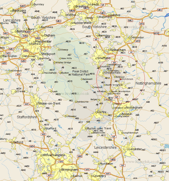
Derbyshire Map Showing Location of Shirebrook
Population: 10288
Area Size (ha): 299
District: Bolsover
Easting: 452320 Northing: 367309
Latitude: 53.2 Longitude: -1.22
 = Shirebrook
Area Size (ha): 299
District: Bolsover
Easting: 452320 Northing: 367309
Latitude: 53.2 Longitude: -1.22
= Shirebrook
This Shirebrook map below is supplied by Google. Use the tools in the top left corner to zoom into street level or zoom out for a road map, you may also need to zoom in to see Shirebrook on the map. Click and drag the map to move around. If the map fails to load try and refresh your browser or zoom in or out (+ or -).
Update - it seems Google no longer allow people to use their maps for free! This Shirebrook map sometimes loads and sometimes gives a error. I am working on a solution.
Closest 30 Towns or Cities to Shirebrook (Population over 500)
Bolsover 4.81km Cresswell 5.56km Creswell 5.56km Ault Hucknall 5.85km Elmton 5.99km Clowne 7.74km Heath 7.77km Whitwell 9.26km Barlborough 10.27km Tibshelf 10.75km Pilsley 11.44km Staveley 11.56km Blackwell 12.1km Morton 13.36km North Wingfield 13.38km Brimington 13.41km South Normanton 13.57km Chesterfield 14.43km Wingerworth 14.43km Clay Cross 14.44km Killamarsh 14.58km Pinxton 14.59km Eckington 14.94km Stretton 15.26km Shirland 15.34km Alfreton 15.72km Mosbrough 16.37km Mosborough 16.37km Walton 16.75km Unstone 17.14km